The Thames Barrier (London)
| flood protection, floodgate
United Kingdom /
England /
Westham /
London
World
/ United Kingdom
/ England
/ Westham
World / United Kingdom / England
flood protection, floodgate

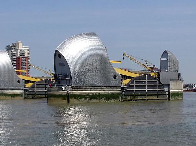

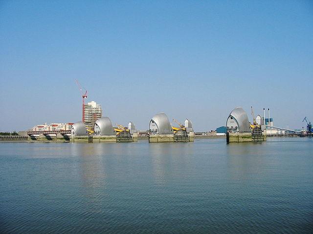
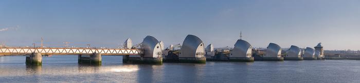
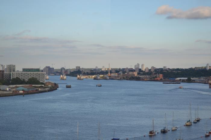
The centrepiece of London's flood defences, the Thames Barrier was completed in 1984 at a cost of £534 million. It is expected to cope with sea level changes until somewhere between 2030 and 2050.
Wikipedia article: http://en.wikipedia.org/wiki/Thames_Barrier
Nearby cities:
Coordinates: 51°29'49"N 0°2'15"E
- Neeltje-Jans 252 km
- Buków flood polder 1292 km
- St.Petersburg Dam - North section 2066 km
- Youghiogheny River Lake 6006 km
- J.E. Roush Fish and Wildlife Area 6314 km
- Addicks Reservoir 7836 km
- Sutter Bypass 8469 km
- Yolo Bypass 8507 km
- Cache Creek Settling Basin 8512 km
- Moutoa Floodway 18758 km
- The Royal Docks 0.9 km
- Charlton 1.5 km
- Canning Town 2.2 km
- Woolwich 2.3 km
- Greenwich 2.9 km
- Royal Borough of Greenwich 3.4 km
- London Borough of Newham 3.8 km
- Lower Lea Valley 4.9 km
- Tower Hamlets Council 5.4 km
- Belfore Inventories 6.2 km
Comments