Euphrates Region (DFNS)
Syria /
ar-Raqqah /
World
/ Syria
/ ar-Raqqah
/ ar-Raqqah
, 33 km from center (الرقة)
region, second-level administrative division, draw only border, do not draw title, autonomous administrative region
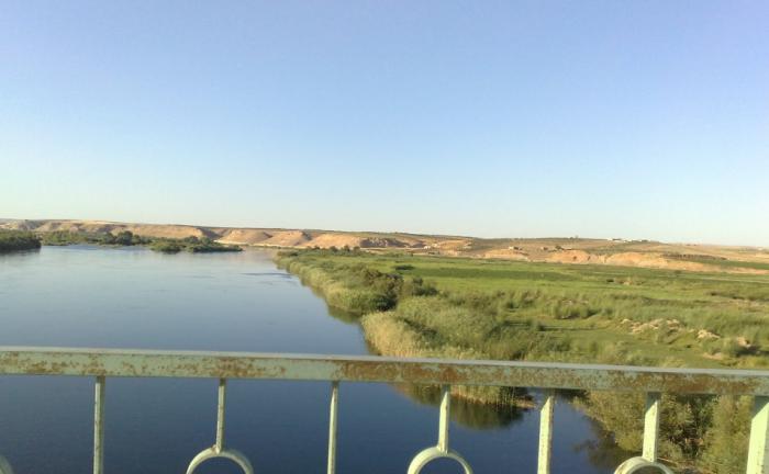

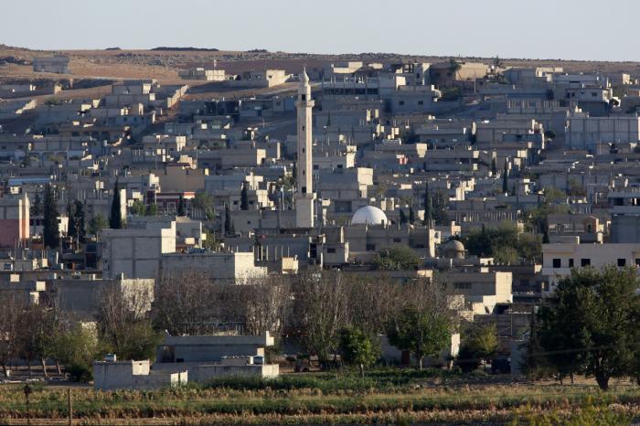
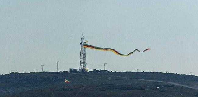
Euphrates Region (Kurdish: Herêma Firat) is the central of the three regions of the de facto autonomous region Democratic Federation of Northern Syria (DFNS). It is compromised of the former districts of Ayn al-Arab and Tell Abyad. It was created in January 2014 with the previous name Kobanî Canton. The region is subdivided in two cantons; Kobanî and Girê Spî. The administrative centre is Kobanî (Ayn al-Arab).
Subdivision-levels:
[0] Country: 'Syria'
[1] Autonomous federated entity: 'Democratic Federation of Northern Syria (DFNS)'
[2] Region: 'The Euphrates Regions'
Subdivision-levels:
[0] Country: 'Syria'
[1] Autonomous federated entity: 'Democratic Federation of Northern Syria (DFNS)'
[2] Region: 'The Euphrates Regions'
Wikipedia article: https://en.wikipedia.org/wiki/Euphrates_Region
Nearby cities:
Coordinates: 36°17'30"N 38°55'4"E
- Khunayz area 8.1 km
- الرجاء ايضاح هذه المفارق 149 km
- ISIS Desert Pocket 156 km
- حي الشيخ مقصود 159 km
- al-Ḥalqa massif (570 m) 205 km
- Qabr as Sitt Nafīsah 233 km
- Al-Zahriah Area 235 km
- مـــــران الفواعرة 243 km
- Tiyas crossroads 248 km
- Greater Idlib - Idlib pocket - Idlib "demilitarization" zone 258 km
- former US base – Tal Siman 3.5 km
- Tel Elsamen Daham (Girê Spi) IDP Camp 3.9 km
- Tell es-Seman (W) 11 km
- Tell es-Seman (E) 11 km
- Tell as-Sedd 12 km
- Al-'Alu Farms 13 km
- Ayn Issa Subdistrict 16 km
- al-Rey channel / Irrigation Canal 29 km
- Al-Raqqah Governorate 31 km
- Raqqa Civil Council (DFNS) 37 km
Comments