Khindsi Lake
India /
Maharashtra /
Ramtek /
World
/ India
/ Maharashtra
/ Ramtek
World / India / Maharashtra / Nagpur
lake
Add category
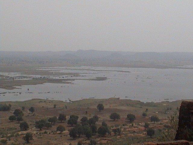
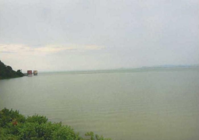
Khindsi lake located just 5 kms from ramtek. This beautiful lake surrounded on all side by verdant forests, is a must see. Trekkingaside, the big attraction here is water sports, choose from motor boats, pedl boats, rowing boats or even water scooters there’s really no better way to take in the scenic beauty of the place.
Boating, Watersports, restaurant and resort is operated by Rajkamal Tourism and Olive Resorts at Khindsi lake. It is central India's largest boating center and amusement park with lakhs of tourists visiting every year.
Information about Ramtek Irrigation Project.
Ramtek Irrigation Project is locally and Popularly known as "Khindsi Lake". Its Official Designation is "Ramtek D 01103". Ramtek Dam was constructed as part of irrigation projects by the Britishers in the year 1923 . It is built on Sur River near Ramtek in Ramtek District of Maharashtra . The dam is an Earth fill Dam .The length of dam is 229 m ( 751.312 ft ) , while the height of the dam above lowest foundation is 22.2 m ( 72.83465 feet ) . Project has a Spillway of other type.Length of the spillway is 57.7 m ( 189.3045 ft ) The spillway is un-gated. It has catchment area of 21.3 thousand hectors. Maximum / Gross storage capacity is 105.13 MCM. Live storage capacity is 103 MCM. Now a days almost all the water bodies make for good picnic spots
Wikipedia article: http://en.wikipedia.org/wiki/Khindsi_Lake
Nearby cities:
Coordinates: 21°23'53"N 79°22'13"E
- Bawanthadi(Rajiv Sagar) Dam ,spillway and Reservoir. 26 km
- Pench Dam Reservoir 31 km
- Totladoh Dam and Reservoir 48 km
- खेकडा नाला "KHEKRA NALA" a PICNIC SPOT 50 km
- Gosikhurd Dam, Spillway and Reservoir. 56 km
- Kolar Dam, Spillway and Reservoir 62 km
- Bodalkassa Lake 66 km
- Wadgaon Dam Reservoir 66 km
- Lower Wunna (Nand ) Dam , Spillway and Reservoir. 78 km
- Nawegaonbadh Dam Reservoir. 92 km
- Ambala Hills 3.5 km
- Kavikulguru Institute of Technology and Science 6.9 km
- Jamdar Farms 7.7 km
- Santanu 8 km
- Santanu 8 km
- State border check post 9 km
- Suryalakshmi Cotton Mills Ltd 10 km
- MANSAR BUDDHIST ARCHAEOLOGICAL SITE 10 km
- Kandri Mines (MECL)(mansar) 10 km
- Parshivani Taluka 25 km
Comments