Kohgiluyeh and Boyer-Ahmad Province
Iran /
Kohgiluyeh-e Boyerahmad /
Deh Dasht /
World
/ Iran
/ Kohgiluyeh-e Boyerahmad
/ Deh Dasht
, 29 km from center (دهدشت)
World / Iran / Kohgiluyeh and Buyer Ahmad
province, first-level administrative division, draw only border


Kohgiluyeh and Boyer-Ahmad (Persian: کهگیلویه و بویراحمد, Kohgilūyé o Boyer Ahmad) is one of the 30 provinces of Iran, located in the southwestern part of the country. It borders Chahar Mahaal and Bakhtiari and Isfahan provinces in the north, Fars province in the east, Bushehr province in the south and Khuzestan province in the west. The province covers an area of 15,563 square kilometers, and in 2005 had a population of 695,099. Kohgiluyeh and Boyer-Ahmad has three counties and its capital is Yasuj.
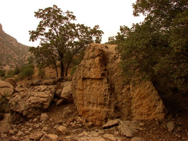
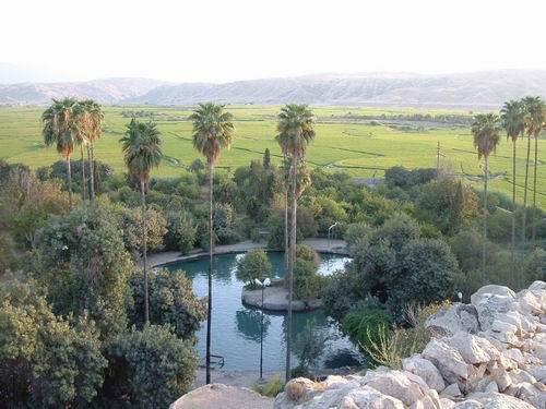
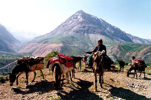
Kohgiluyeh and Boyer-Ahmad is mostly mountainous in terrain, as part of the Zagros mountain range. The mountain range is covered with oak forests and natural springs.
Kohgiluyeh and Boyer-Ahmad is mostly mountainous in terrain, as part of the Zagros mountain range. The mountain range is covered with oak forests and natural springs.
Wikipedia article: http://en.wikipedia.org/wiki/Kohgiluyeh_and_Boyer-Ahmad_Province
Nearby cities:
Coordinates: 30°50'27"N 50°48'20"E
- Kerman Province 371 km
- Riyadh Province 953 km
- Balochistan Province 965 km
- Northern Borders Region 1237 km
- Punjab Province 1777 km
- Mahajanga Province 5030 km
- Toliara Province 5517 km
- East Kalimantan 7190 km
- Papua 9519 km
- Saskatchewan 9773 km
- کوه نیر 5.6 km
- امامزاده محمود 7.4 km
- gordakan 12 km
- loudab 16 km
- روستاي شيخ هابيل 16 km
- Bordeyan 16 km
- تل سنگری 19 km
- روستای دم مهد 19 km
- kamak alli 20 km
- روستای مورنا(امام زاده ولی حسین (ع) 22 km
Comments