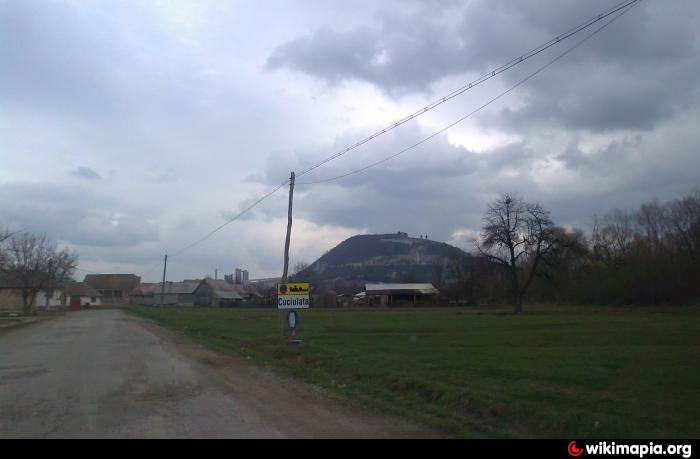
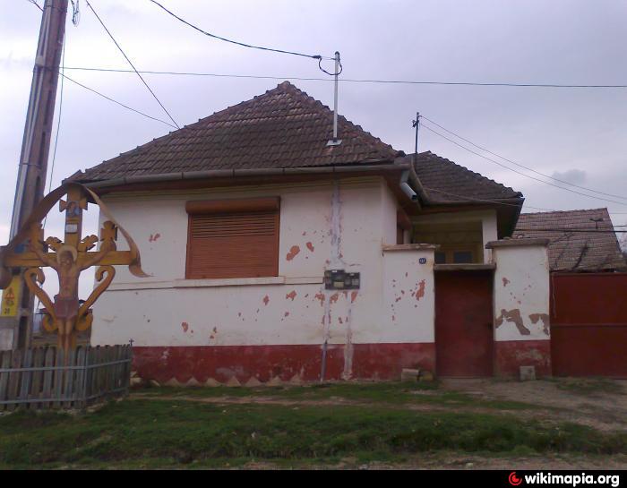
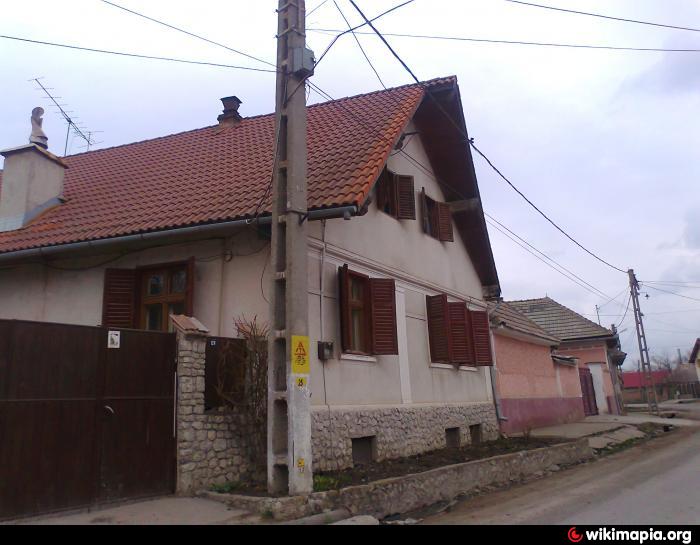
Cuciulata
| village
Romania /
Brasov /
Comana /
World
/ Romania
/ Brasov
/ Comana
World / Romania
village
Add category
Cuciulata (Hungarian: Kucsulata, German: Katscheloden) is a village in the eastern county of Brasov, in Hoghiz Depression. Hoghiz common belongs. * Name The first document (in 1372) was named Villa Cuciulata Roczolod, then, in 1589 - Kucsalota, Kucstulata in 1637 and in 1648 Kociulata.
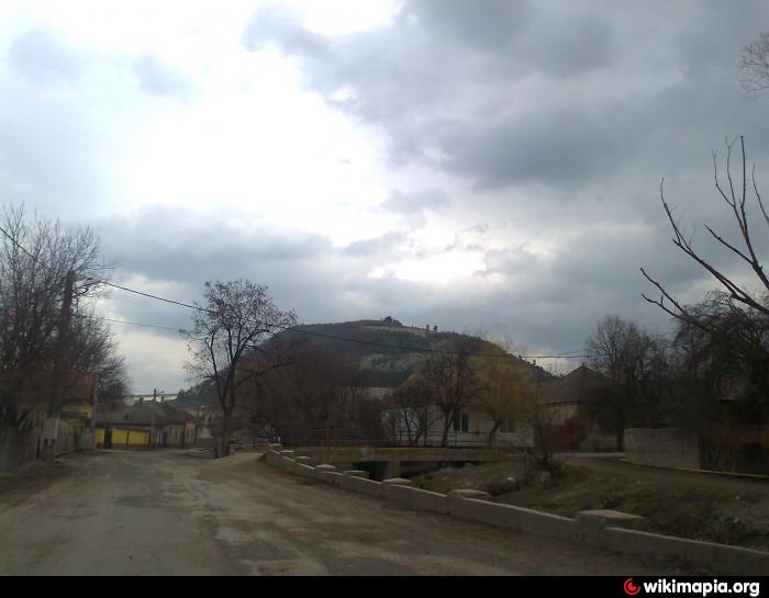
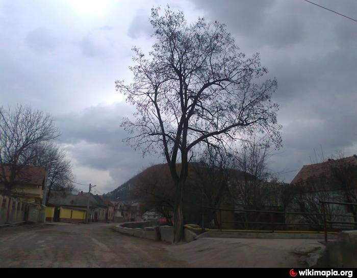
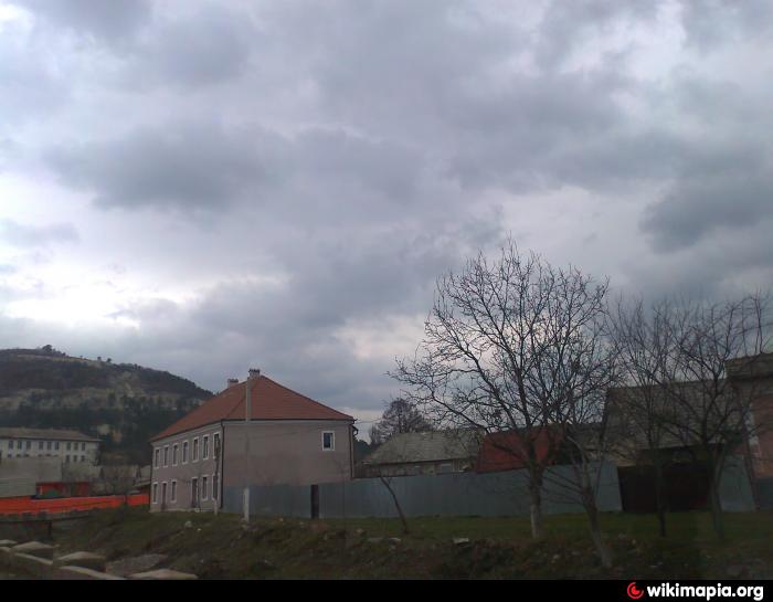
Cuciulata]] * Location Cuciulata Hoghiz village is situated on the south bank of the Olt, in the foothills of Persian, being crossed by river Lupsa. County Road 104 through the village center and village road 20 connects Cuciulata and Lupsa. * History Archaeological findings indicate the existence of human settlements since the Bronze Age. The ruins were discovered a century Dacian fortresses BC place called "stack of Cotofan", in the SE of the village.
The first document in Romanian town of Cuciulata dated July 16, 1372 and is a charter from the time of Vlaicu Voda Basarab II said Mr. Romanian Country.
Census record held in Transylvania, at the request of the Greek Catholic Bishop Innocent Micu-Klein, in 1733, we find that the Romanian town Cuciulata 92 families were reviewed, which is about 460 inhabitants. In cities were reviewed two priests, both Greek Catholics: Iuon and Plato, whose last name do not know. In 1733 work Cuciulata church (Greek Catholic) and there is a parsonage.
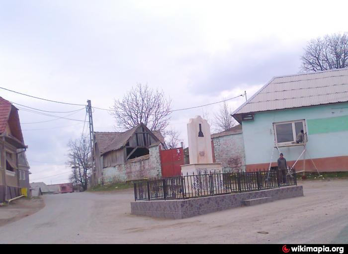
In 1968 it disbanded commune and village passed under the administration Cuciulata Hoghiz.Biserica Pious Paraskevi village dating from 1794
- Pious Paraskeva Orthodox Church dates from 1794.
- Memorial House Aron fist.
- Wooden church.
- Ruins of the stack of archaeological research in the area Cotofan.In Cuciulatii important artifacts were discovered.
Cuciulata]] * Location Cuciulata Hoghiz village is situated on the south bank of the Olt, in the foothills of Persian, being crossed by river Lupsa. County Road 104 through the village center and village road 20 connects Cuciulata and Lupsa. * History Archaeological findings indicate the existence of human settlements since the Bronze Age. The ruins were discovered a century Dacian fortresses BC place called "stack of Cotofan", in the SE of the village.
The first document in Romanian town of Cuciulata dated July 16, 1372 and is a charter from the time of Vlaicu Voda Basarab II said Mr. Romanian Country.
Census record held in Transylvania, at the request of the Greek Catholic Bishop Innocent Micu-Klein, in 1733, we find that the Romanian town Cuciulata 92 families were reviewed, which is about 460 inhabitants. In cities were reviewed two priests, both Greek Catholics: Iuon and Plato, whose last name do not know. In 1733 work Cuciulata church (Greek Catholic) and there is a parsonage.
In 1968 it disbanded commune and village passed under the administration Cuciulata Hoghiz.Biserica Pious Paraskevi village dating from 1794
- Pious Paraskeva Orthodox Church dates from 1794.
- Memorial House Aron fist.
- Wooden church.
- Ruins of the stack of archaeological research in the area Cotofan.In Cuciulatii important artifacts were discovered.
Wikipedia article: http://en.wikipedia.org/wiki/Cuciulata
Nearby cities:
Coordinates: 45°56'23"N 25°16'18"E
- Ungra 6.1 km
- Homorod 12 km
- Ticusu vechi 14 km
- Sercaia 16 km
- Jibert 18 km
- Perşani 18 km
- Sinca noua 26 km
- Recea 35 km
- Cincu 37 km
- Ucea de Jos 50 km
- LaFarge Factory 1.9 km
- Bogăţii Forest 10 km
- Brașov County 20 km