Batu Uban (George Town)
Malaysia /
Pulau Pinang /
Georgetown /
George Town
World
/ Malaysia
/ Pulau Pinang
/ Georgetown
neighbourhood, residential neighbourhood
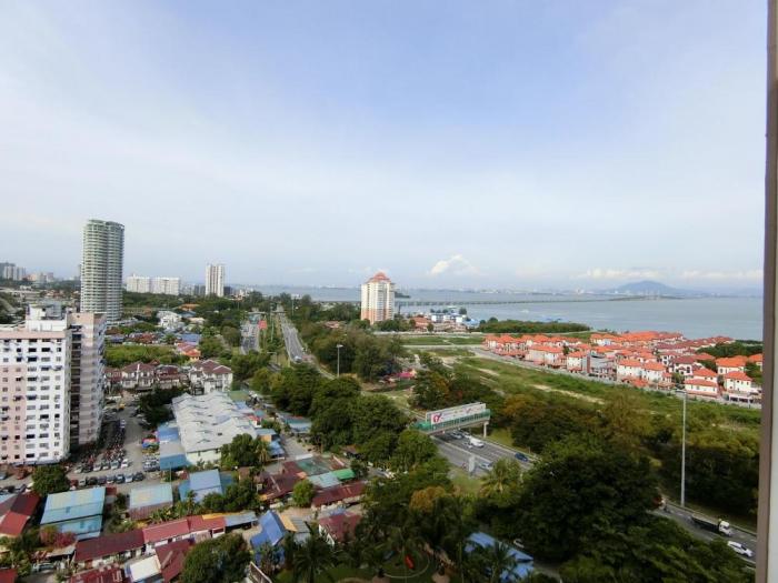
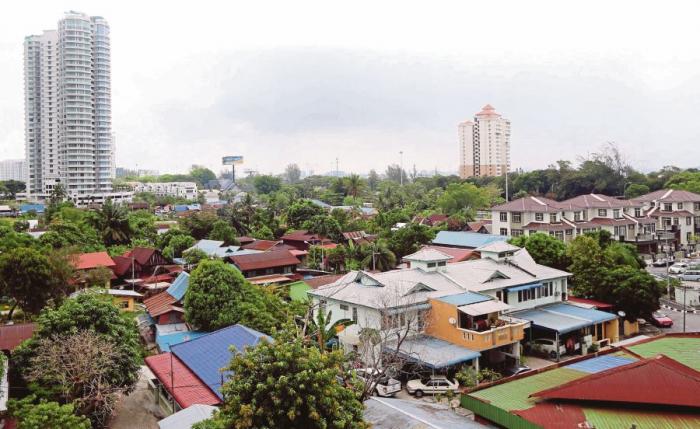
Batu Uban is a neighbourhood within the city of George Town. Located within the Gelugor suburb, BJ is located approximately 7.5km south of the city centre. Batu Uban is named after a hillock where the neighbourhood lies.
The establishment of the village of Batu Uban by Haji Muhammad Salleh (also known as Nakhoda intan) and Jenaton Raha Labu in 1734 predated even the founding of George Town by Francis Light in 1786. The two ethnic Minangkabaus from Sumatra built a mosque within the neighbourhood, which grew into a fishing and agricultural village. Sugarcane and coconut were also cultivated here.
Batu Uban only witnessed rapid urbanisation upon the completion of the Penang Bridge in 1985. Residents here enjoy excellent transport links due to its proximity to the bridge and the adjoining Tun Dr Lim Chong Eu Expressway,
Nearby cities:
Coordinates: 5°21'1"N 100°18'34"E
- Sungai Nibong 2.1 km
- Bandar Bayan Baru 4.1 km
- Bayan Baru 4.6 km
- Sungai Ara 6.4 km
- Bandar Baru Ayer Itam 7.2 km
- Kebun Bunga 10 km
- Seri Tanjung Pinang 13 km
- Bandar Baru Seri Klebang 114 km
- Bandar Universiti 132 km
- kota stabat 272 km
- Taman Bayan Mutiara 0.3 km
- Taman Pantai Jerjak 1.1 km
- Gelugor 1.4 km
- Universiti of Science Malaysia (USM) 1.4 km
- Queens Waterfront Residences 2 km
- Pulau Jerejak 3.6 km
- Penang Bridge 4.9 km
- Coastal waters of Penang island 5.6 km
- Penang Island 5.8 km
- Penang 5.9 km