Gelugor (George Town)
Malaysia /
Pulau Pinang /
Georgetown /
George Town
World
/ Malaysia
/ Pulau Pinang
/ Georgetown
suburb, city district
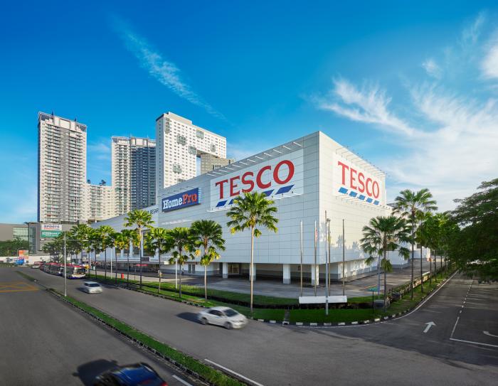
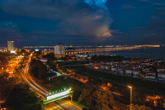
Gelugor is a suburb within the city of George Town. It is situated approximately 5km south of the city centre, encompassing the coastal area between Jelutong to the north and Bayan Lepas to the south. The 13km-Penang Bridge, built in 1985, links the suburb with the city of Seberang Perai on mainland Peninsular Malaysia. Gelugor is also home to Universiti Sains Malaysia (USM), one of Malaysia's premier public universities.
In the late 18th century, Malay fishermen moved into what is now Gelugor. Soon after the establishment of George Town in 1786, David Brown, a partner of the city's founder, Francis Light, established agricultural plantations within Gelugor. The area was also the site of the Minden Barracks, which was used by the British Army, and briefly by the Imperial Japanese Army between 1941 and 1945.
Between 1957 and 2015, the Gelugor Roundabout marked the southernmost limit of the city of George Town. Urban development crept southwards towards Gelugor in the 1960s. The establishment of USM in 1969 and the completion of the Penang Bridge in 1985 led to rapid urbanisation of the suburb. Future developments within the suburb include The Light Waterfront, which sits on reclaimed land and is expected to house a convention centre and a shopping mall.
Nearby cities:
Coordinates: 5°21'41"N 100°18'13"E
- Bayan Lepas 5.7 km
- Perai 7.9 km
- Ayer Itam 8.3 km
- Juru 11 km
- Teluk Kumbar 12 km
- Batu Kawan 14 km
- Balik Pulau 14 km
- Teluk Bahang 19 km
- Port Blair West 1099 km
- Azara 2492 km
- Universiti of Science Malaysia (USM) 0.6 km
- Batu Uban 1.4 km
- Sungai Dua 1.5 km
- Bukit Gelugor 1.8 km
- Bukit Gambier 2.1 km
- Island Glades 2.2 km
- Pine Sanctuary Penang 3 km
- Coastal waters of Penang island 4.7 km
- Penang Island 4.9 km
- Penang 6.6 km