Asparuhov Val (Varna)
Bulgaria /
Varna /
Varna
World
/ Bulgaria
/ Varna
/ Varna
, 2 km from center (Варна)
park, 1935_construction
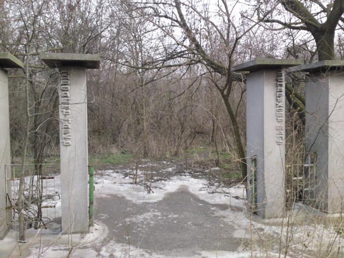
The embankment of Asparuh is a surviving testimony to how the Proto-Bulgarians used to strengthen their borders.
It is believed to be built in the 8th century to protect the lower coast from sea invasions, most likely from Byzantine Empire.
As good warriors, the Proto-Bulgarians knew the tactical value of height in the midst of the battle. In the lower part of the embankment of Asparuh above the solid main part of compacted gray-black clay sand or stone masonry sand or clay sand mixed with a small amount of stone-brick was placed. The embankment's upper part consists of a coating of clay sand mixed with mortar and a large amount of stones and broken bricks. Swamps are still observed around the shaft and apparently this "embedding in the rocks" was done to overcome them. Without this, it was impossible to spread and compact the first layers of the embankment. The ancient Bulgarian builders took special care to strengthen the body of the embankment.
When the deep sea-lake canal was dug in 1976, embankment of Asparuh was divided into two parts and the southern part of it can be seen in Asparuhov Park.
visit.varna.bg/en/asparuhov-val.html
www.varnaheritage.com/en/archeological/staroblgarski-uk...
Nearby cities:
Coordinates: 43°11'10"N 27°54'13"E
- Park Borovets 4.5 km
- Zlatni Pyasatsi Nature Park 19 km
- Pobiti Kamani Protected Site 22 km
- "Balchik" PZ under the Bird Directive 30 km
- Batova PZ 31 km
- "Chairya" PZ under the Bird Directive 54 km
- Shumen Plateau Nature Park 89 km
- Furnica - Dumbrăveni Forest (The Forest of the Dead Lady) 93 km
- Karakuz - Protected area 105 km
- Canaraua Fetii - Iortmac Reservation 106 km
- Asparuhovo 0.7 km
- Channel 2 - "Sea-Lake" 0.9 km
- Ostrova Industrial Zone 0.9 km
- Channel 1 - "Sea - Lake" 1 km
- Bulyard Bulgarian Shipbuilding 1.1 km
- Port of Varna East 1.1 km
- Odessos District 2 km
- Varna Municipality 2.2 km
- Lake Varnа 7.4 km
- Varna Region 28 km