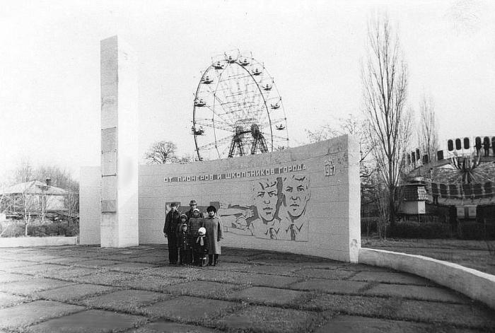
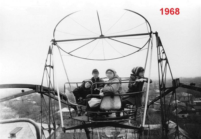
Former location of amusement park (Kamensk-Shakhtinsky)
Russia /
Rostov /
Kamensk-Shakhtinskiy /
Kamensk-Shakhtinsky
World
/ Russia
/ Rostov
/ Kamensk-Shakhtinskiy
, 1 km from center (Каменск-Шахтинский)
historical layer / disappeared object
Add category
Nearby cities:
Coordinates: 48°19'27"N 40°16'17"E
- Stadionnaya ulitsa ('Stadium Street') (now ulitsa Kudinova ('Kudinov Street')) started here 0.7 km
- Former Pokrovsky marketplace located here 0.8 km
- Construction site and camp of the new road bridge across the Seversky Donets river 1.9 km
- Temporary process pad for the construction of the new road bridge across the Seversky Donets river 3.3 km
- Temporary pontoon ferry for the time of repair of the road bridge across the Seversky Donets river on M-4 Don federal road 3.3 km
- FGUP Kamenskkhimkombinat ('Kamensk Chemistry Complex') 5.1 km
- Jiva-S production facility area 8 km
- Former 'Aviator's' beach 12 km
- Dismantled railroad sidetrack to Kamenskdorstroy JSC 13 km
- Budionivka 58 km
- Kamensk District Court of Rostov Region 0.1 km
- prospekt Karla Marksa, 65/36 0.2 km
- Pokrovsky residential compound 0.2 km
- ulitsa Gagarina, 65 0.3 km
- prospekt Karla Marksa, 67 0.3 km
- Kommunalnik ('Public Utility Worker') garage cooperative 0.4 km
- Topol ('Poplar') car garage cooperative 0.4 km
- ulitsa Zhelyabova, 48 0.4 km
- pereulok Krupskoy, 64 0.6 km
- Sotsgorod historical residential area 1 km
Kamensk District Court of Rostov Region
prospekt Karla Marksa, 65/36
Pokrovsky residential compound
ulitsa Gagarina, 65
prospekt Karla Marksa, 67
Kommunalnik ('Public Utility Worker') garage cooperative
Topol ('Poplar') car garage cooperative
ulitsa Zhelyabova, 48
pereulok Krupskoy, 64
Sotsgorod historical residential area