Sotsgorod historical residential area (Kamensk-Shakhtinsky)
Russia /
Rostov /
Kamensk-Shakhtinskiy /
Kamensk-Shakhtinsky
World
/ Russia
/ Rostov
/ Kamensk-Shakhtinskiy
, 1 km from center (Каменск-Шахтинский)
World / Russia / Rostov
invisible, historic district
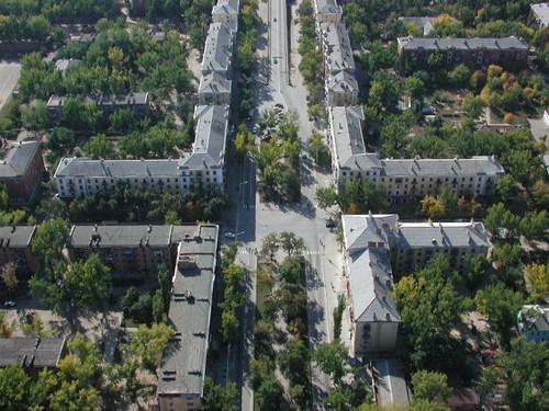
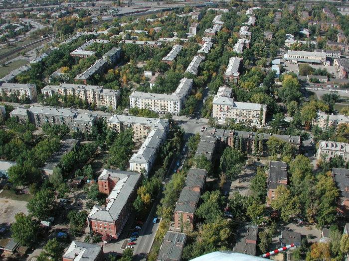
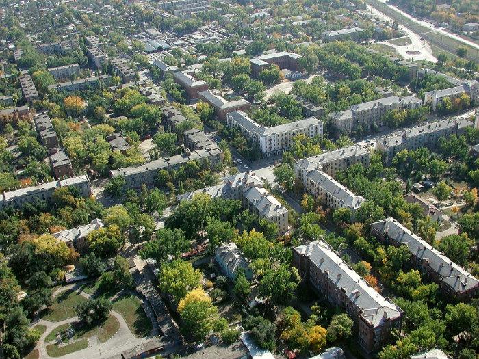
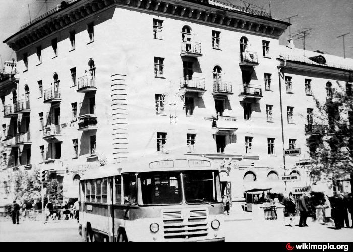
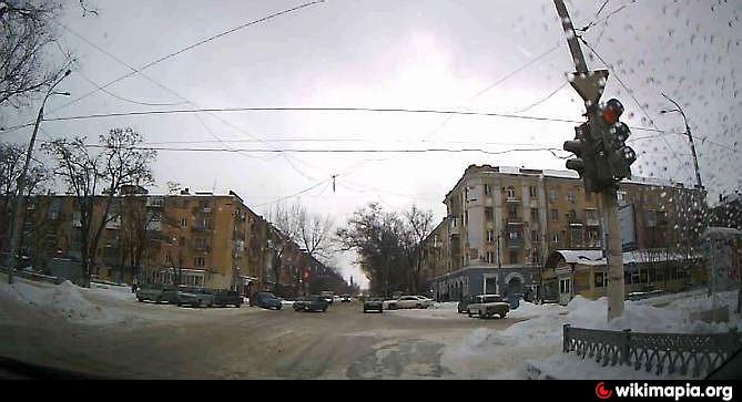
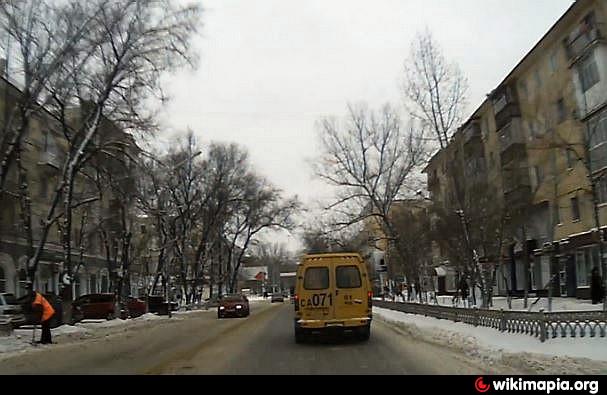
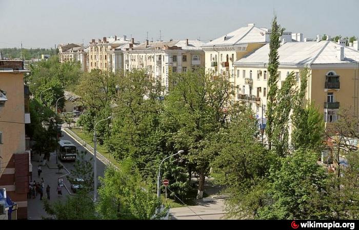
Abbreviated form of the 'Socialistic City' (as widely used in 1930's in the Soviet Union in connection with the nationwide industrialization and reconstruction).
Residential construction started here in 1938 and ended up in 1960's.
This name is almost out of use nowadays and still remembered mostly by old-timers.
Residential construction started here in 1938 and ended up in 1960's.
This name is almost out of use nowadays and still remembered mostly by old-timers.
Nearby cities:
Coordinates: 48°18'57"N 40°16'8"E
- Gnilovskaya 132 km
- Rutchenkovo 199 km
- Trudivski 207 km
- Stur Digora 643 km
- Donifars 645 km
- Tapan Digora 647 km
- Wallagkom 657 km
- Great Mizur 669 km
- Dwaleti 673 km
- Urstwalta (Maghran-Dwaleti) 695 km
- Territory of the Hero of Russia Igor Yatskov secondary school No. 9 — building No. 1 0.1 km
- The Central city marketplace 0.3 km
- Shtutser ('Fitting') car garage cooperative 0.4 km
- Gagarin Park 0.5 km
- Armour ground 0.5 km
- Walkway on Ukrainskaya ulitsa 0.6 km
- Military Unit 45767 0.6 km
- Kamensk bread-baking complex 0.6 km
- Military Unit No. 18590 0.6 km
- Kamensk Military Garrison 0.6 km
Territory of the Hero of Russia Igor Yatskov secondary school No. 9 — building No. 1
The Central city marketplace
Shtutser ('Fitting') car garage cooperative
Gagarin Park
Armour ground
Walkway on Ukrainskaya ulitsa
Military Unit 45767
Kamensk bread-baking complex
Military Unit No. 18590
Kamensk Military Garrison