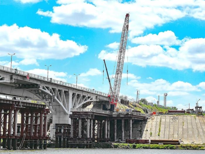
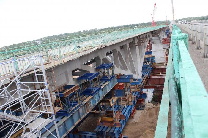
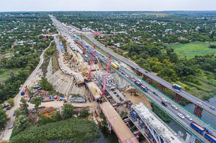
Temporary process pad for the construction of the new road bridge across the Seversky Donets river (Kamensk-Shakhtinsky)
Russia /
Rostov /
Kamensk-Shakhtinskiy /
Kamensk-Shakhtinsky
World
/ Russia
/ Rostov
/ Kamensk-Shakhtinskiy
, 6 km from center (Каменск-Шахтинский)
historical layer / disappeared object
Add category
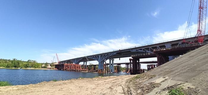
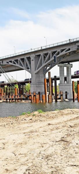
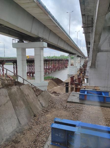
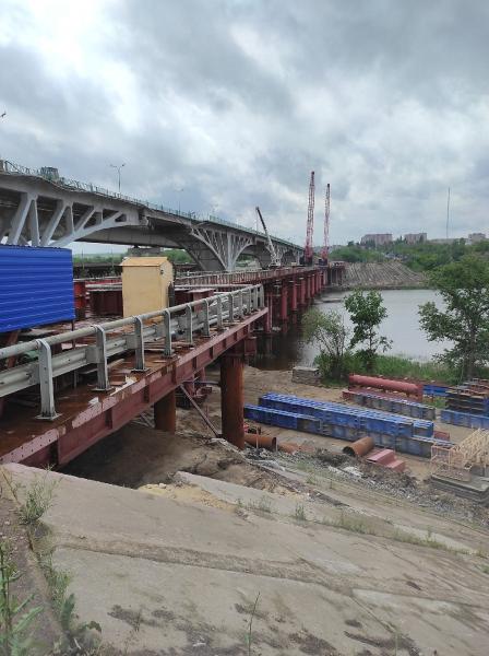
Low operating platform.
The induced temporary structure is intended for the movement of construction equipment only, which is used for the disassembly of the emergency and construction of a new bridge over the Seversky Donets river.
The induced temporary structure is intended for the movement of construction equipment only, which is used for the disassembly of the emergency and construction of a new bridge over the Seversky Donets river.
Nearby cities:
Coordinates: 48°18'22"N 40°18'37"E
- Temporary pontoon ferry for the time of repair of the road bridge across the Seversky Donets river on M-4 Don federal road 0.2 km
- Stadionnaya ulitsa ('Stadium Street') (now ulitsa Kudinova ('Kudinov Street')) started here 3.3 km
- Territory of former Kamensk Milk Proceesing Factory (Astakhovsky pereulok, 89) 3.8 km
- Former Pokrovsky marketplace located here 4.1 km
- Construction site and camp of the new road bridge across the Seversky Donets river 5.3 km
- FGUP Kamenskkhimkombinat ('Kamensk Chemistry Complex') 8.3 km
- Jiva-S production facility area 8.3 km
- Former 'Aviator's' beach 14 km
- Dismantled railroad sidetrack to Kamenskdorstroy JSC 15 km
- Budionivka 62 km
- Green area 0.3 km
- Levoberezhnaya ('Left Bank') junction 0.3 km
- Ivushki ('Willow Trees') beach 0.3 km
- Pravoberezhnaya ('Right Bank') junction 0.4 km
- Fialka ('Viola') community gardens 0.7 km
- Michurinets-1 community gardens 1 km
- Kosonogovka 1.1 km
- Windbreak 1.7 km
- Skorodumovka 2.2 km
- Kamensk impact crater 13 km