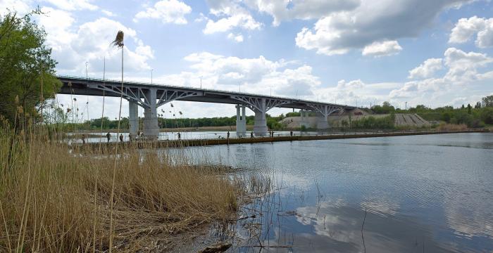
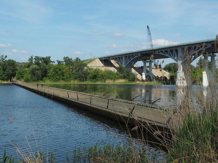
Temporary pontoon ferry for the time of repair of the road bridge across the Seversky Donets river on M-4 Don federal road (Kamensk-Shakhtinsky)
Russia /
Rostov /
Kamensk-Shakhtinskiy /
Kamensk-Shakhtinsky
World
/ Russia
/ Rostov
/ Kamensk-Shakhtinskiy
, 6 km from center (Каменск-Шахтинский)
historical layer / disappeared object
Add category
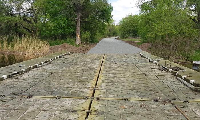
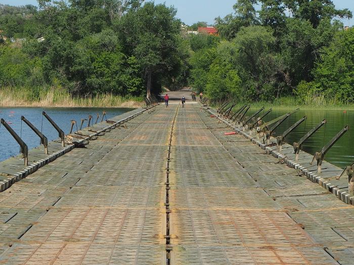
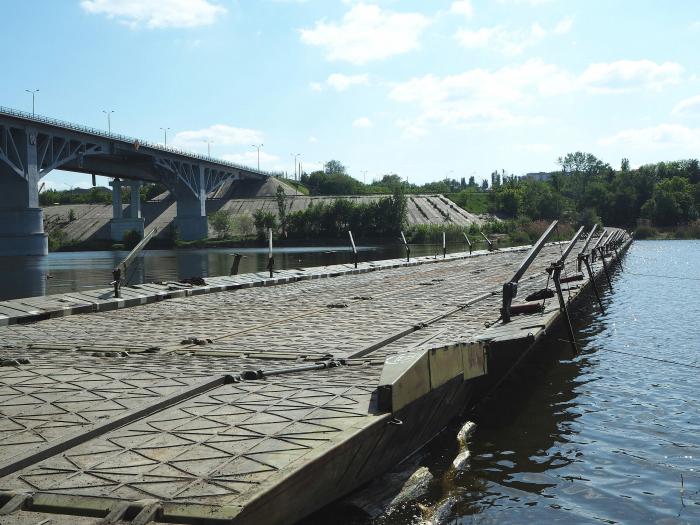
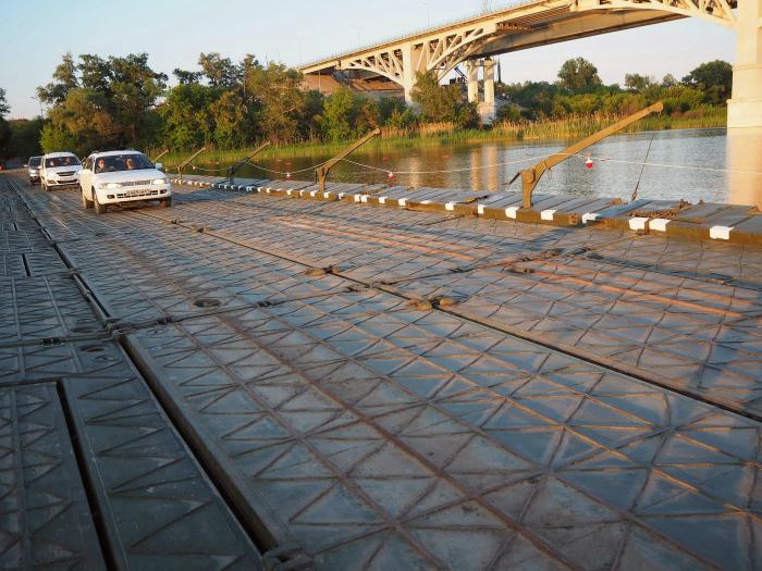
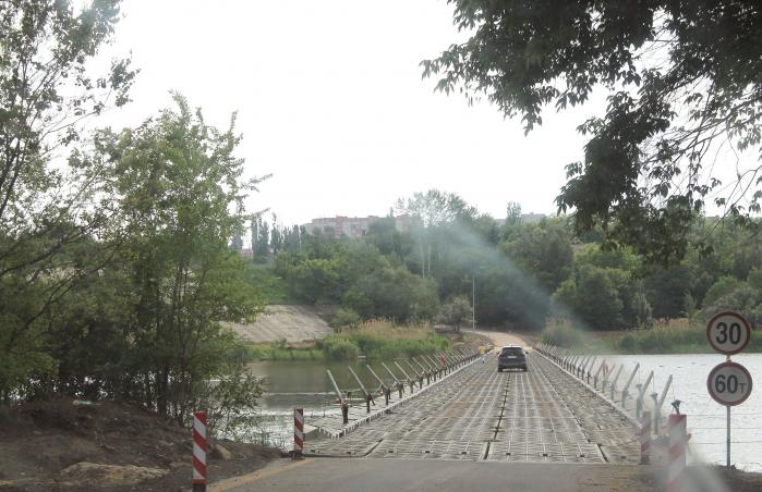
Installed May 6, 2019.
Traffic is started on May 24, 2019.
The length of the crossing is 250 m with a lifting capacity being about 60 tons.
Traffic is started on May 24, 2019.
The length of the crossing is 250 m with a lifting capacity being about 60 tons.
Nearby cities:
Coordinates: 48°18'24"N 40°18'35"E
- Temporary process pad for the construction of the new road bridge across the Seversky Donets river 0.1 km
- Stadionnaya ulitsa ('Stadium Street') (now ulitsa Kudinova ('Kudinov Street')) started here 3.2 km
- Territory of former Kamensk Milk Proceesing Factory (Astakhovsky pereulok, 89) 3.7 km
- Former Pokrovsky marketplace located here 4.1 km
- Construction site and camp of the new road bridge across the Seversky Donets river 5.2 km
- FGUP Kamenskkhimkombinat ('Kamensk Chemistry Complex') 8.2 km
- Jiva-S production facility area 8.3 km
- Former 'Aviator's' beach 14 km
- Dismantled railroad sidetrack to Kamenskdorstroy JSC 15 km
- Budionivka 62 km
- Green area 0.3 km
- Pravoberezhnaya ('Right Bank') junction 0.4 km
- Territory of Boarding School No. 2 0.7 km
- Kosonogovka 1.1 km
- Mikrorayon Shestidesyatiletiya Oktyabrya 1.2 km
- Goryachka river floodplain 1.3 km
- Waterlogged bottom-land of the Seversky Donets and Goryachka rivers 1.6 km
- Topolki ('Little Poplars') Park 1.7 km
- Skorodumovka 2.1 km
- Kamensk impact crater 13 km
Green area
Pravoberezhnaya ('Right Bank') junction
Territory of Boarding School No. 2
Kosonogovka
Mikrorayon Shestidesyatiletiya Oktyabrya
Goryachka river floodplain
Waterlogged bottom-land of the Seversky Donets and Goryachka rivers
Topolki ('Little Poplars') Park
Skorodumovka
Kamensk impact crater