Al-Raqqah Governorate
Syria /
ar-Raqqah /
World
/ Syria
/ ar-Raqqah
/ ar-Raqqah
, 14 km from center (الرقة)
first-level administrative division, draw only border, governorate (administrative division)
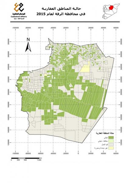
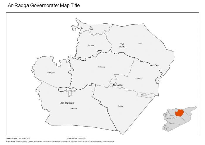
Al-Raqqah Governorate (Arabic: مُحافظة الرقة ALA: Muḥāfaẓat ar-Raqqah) is one of the fourteen governorates (provinces) of Syria. It is situated in the north of the country and covers an area of 19,616 km². The governorate has a population of 921,000 (2010 census office estimate). The capital is al-Raqqah.
The governorate is divided into 3 districts (manatiq): Tal Abyad, Al-Thawrah, Al-Raqqah.
The governorate is divided into 3 districts (manatiq): Tal Abyad, Al-Thawrah, Al-Raqqah.
Wikipedia article: http://en.wikipedia.org/wiki/Al-Raqqah_Governorate
Nearby cities:
Coordinates: 36°0'57"N 38°54'44"E
- Anbar Governorate (ICR) 96 km
- Nineveh Governorate (ICR) 231 km
- Homs Governorate (PCS) 262 km
- Salah Al-Deen Governorate 324 km
- Rif Dimashq Governorate 344 km
- ِAlNajaf AlAshraf Province 561 km
- Al Muthana Province 656 km
- Basra Province 879 km
- Hadhramaut Governorate 2031 km
- Al-Mahrah Governorate 2205 km
- Primary school 3.3 km
- Irrigation Canal 3.9 km
- Sakuriyah 4.3 km
- Jalab valley 5.5 km
- Irrigation Channel 7.5 km
- Train Station 7.6 km
- High Volage Electricity Line 14 km
- High Voltage Electricity Line 18 km
- Raqqa Civil Council (DFNS) 27 km
- Tabqa Civil Council (DFNS) 40 km
Comments