Wadi Anak
Libya /
al-Kufrah /
World
/ Libya
/ al-Kufrah
/ al-Kufrah
, 222 km from center (الكفرة)
petroglyph, archeological site

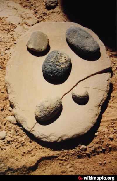

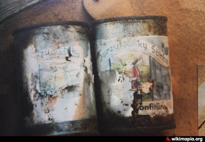
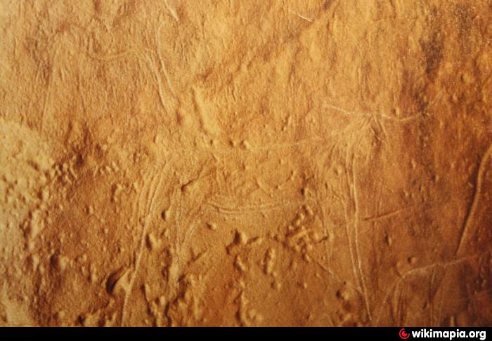

In this valley with many rocky hill, you also find petroglyphs, paintings and tools from stone age and (hopefully still) remains of the Leo Frobenius-Expedition from 1933/34, who researched the whole area and had his basecamp here. Obviously they enjoyed the time as they had some Asbach Uralt Cognac with them.
Nearby cities:
Coordinates: 23°36'13"N 25°12'52"E
- Wadi Sura 0.9 km
- Wadi Abdel Malik, upper section 29 km
- Petroglyphs 30 km
- stone-age petroglyphs 42 km
- Wadi Hamra 50 km
- Maghara al Qantara 104 km
- Wadi Bakht 112 km
- Karkur Talh 175 km
- Petroglyph Site 177 km
- Abu Ballas 264 km
- southern cliffs of the Abu Ras Plateau 12 km
- Umm Ras Plateau 24 km
- Mars Landscape 26 km
- Abu Ras Plateau 31 km
- Wadi Abdel Malik 41 km
- Gilf al Kebir 44 km
- Arkenu Dune, northern section 58 km
- Wadi Abdul Malik (Central Area) 70 km
- Abu Saad Plateau 75 km
- Wadi Abdel Malik, lowest section 150 km