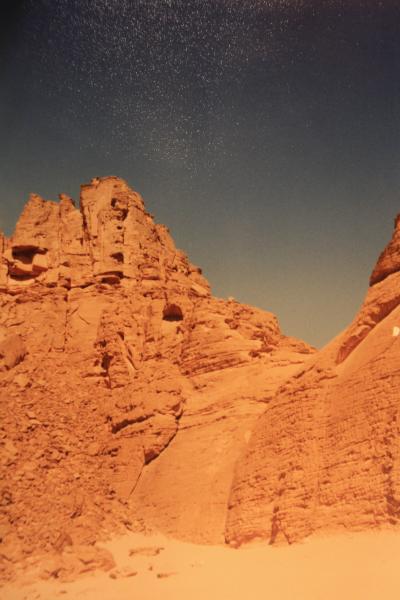
Wadi Sura
Libya /
al-Kufrah /
World
/ Libya
/ al-Kufrah
/ al-Kufrah
, 224 km from center (الكفرة)
archeological site, neolithic age, uad / wad / wadi
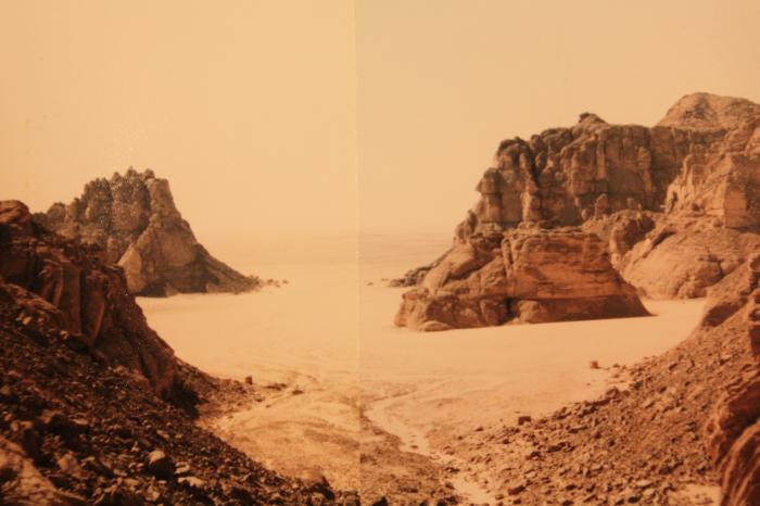
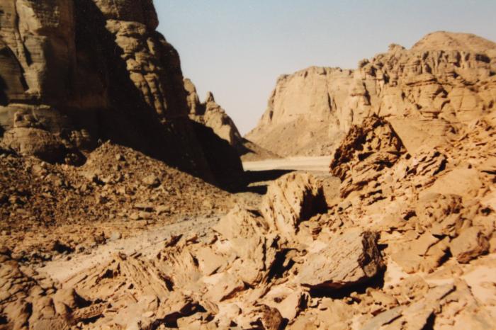
famous "valley of the pictures", discovered by Ladislaus Almasy before WW II with many petroglyphs and paintings, among them those in the "cave of the swimmers", where Almasy found the proof for his theory that this region in stoneage times was much more humid and had lakes, at least temporary ones during the rain season.
Nearby cities:
Coordinates: 23°35'40"N 25°13'54"E
- Petroglyphs 29 km
- Wadi Abdel Malik, upper section 30 km
- stone-age petroglyphs 42 km
- Wadi Hamra 50 km
- Maghara al Qantara 102 km
- Wadi Bakht 110 km
- Karkur Talh 174 km
- Petroglyph Site 176 km
- Yardang Field / Mudpans 241 km
- Abu Ballas 263 km
- southern cliffs of the Abu Ras Plateau 10 km
- Umm Ras Plateau 26 km
- Mars Landscape 28 km
- Abu Ras Plateau 31 km
- Wadi Abdel Malik 42 km
- Gilf al Kebir 43 km
- Arkenu Dune, northern section 57 km
- Wadi Abdul Malik (Central Area) 71 km
- Abu Saad Plateau 76 km
- Wadi Abdel Malik, lowest section 151 km