Umm Ras Plateau
Libya /
al-Kufrah /
World
/ Libya
/ al-Kufrah
/ al-Kufrah
, 197 km from center (الكفرة)
World / Egypt
mountain
Add category
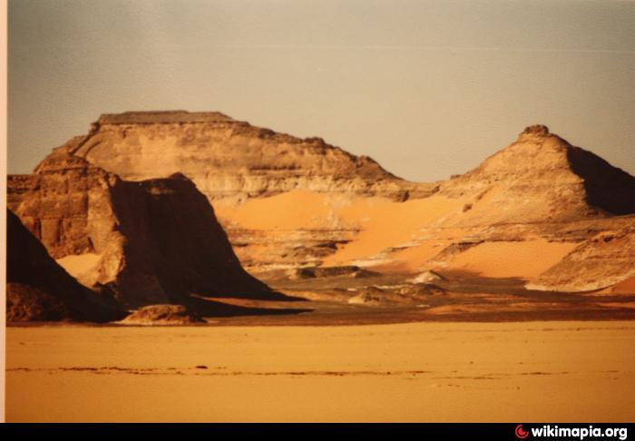
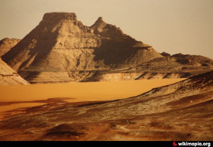
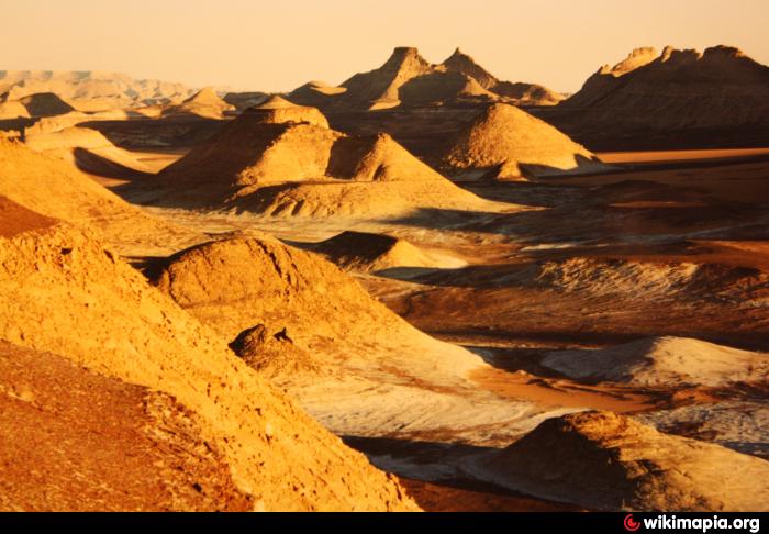
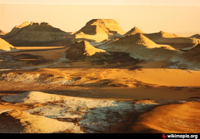
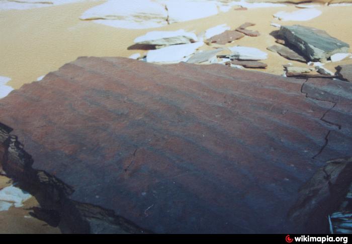

Most western part of Gilf Kebir Region with deep ridges and gorges cut by erosion into the Gilf Kebir sandstone. Very colourful area as ferrite gives a reddish impression of the rocks and contrasts a lot to white or yellow sand. You may find blocks of petrified sea-floor with the typical ripples.
Nearby cities:
Coordinates: 23°42'37"N 25°0'34"E
- Abu Saad Plateau 82 km
- Gilf-Saghir 99 km
- Jebel Babein 111 km
- erroneously as "Kebira Crater" named mountains 116 km
- Jebel Bu Bari 130 km
- Gilf al Kebir 133 km
- Jebel Arkenu 156 km
- Volcano Region Uweinat - North 158 km
- Jebel el-Kirdaba 324 km
- Quss Abu Sa`id Plateau 450 km
- Mars Landscape 2.1 km
- southern cliffs of the Abu Ras Plateau 35 km
- Abu Ras Plateau 38 km
- Wadi Abdel Malik 41 km
- Gilf al Kebir 61 km
- Wadi Abdul Malik (Central Area) 62 km
- Abu Saad Plateau 72 km
- Arkenu Dune, northern section 76 km
- Wadi Abdel Malik, north central section 84 km
- Wadi Abdel Malik, lowest section 136 km