Gilf-Saghir
Libya /
al-Kufrah /
World
/ Libya
/ al-Kufrah
/ al-Kufrah
, 278 km from center (الكفرة)
World / Egypt
mountain
Add category
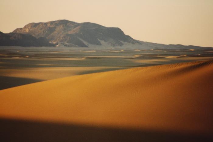

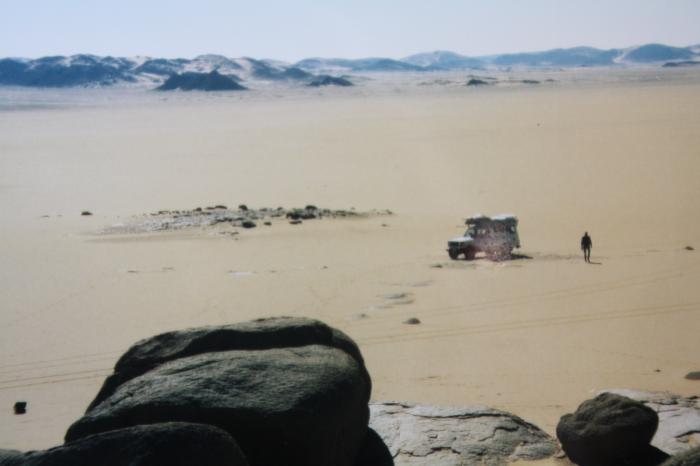


"Small Gilf ", a designation refering to the Gilf Kebir e.g. Grand Gilf, max. 1116 m above sea level. Much eroded sandstone massiv with deep gorges and patly covert with sandshields; further south a region with former volcanic activity.
Nearby cities:
Coordinates: 22°36'22"N 25°19'45"E
- Jebel Babein 43 km
- Volcano Region Uweinat - North 50 km
- Jebel Bu Bari 71 km
- Jebel Arkenu 80 km
- Umm Ras Plateau 138 km
- Abu Saad Plateau 202 km
- erroneously as "Kebira Crater" named mountains 243 km
- Gilf al Kebir 260 km
- Jebel el-Kirdaba 433 km
- Quss Abu Sa`id Plateau 546 km
- Arkenu Dune, cental section 27 km
- Arkenu Dune, northern section 55 km
- Wadi Wass'a 93 km
- Kamal-al-Din-Plateau 121 km
- Gilf al Kebir 133 km
- Abu Ras Plateau 138 km
- Abu Saad Plateau 184 km
- Gilf Kebir Crater Field 210 km
- Abu Ballas Scarp 271 km
- East Owaynat 317 km
Comments