Wadi Bakht Natural Dam
Libya /
al-Kufrah /
World
/ Libya
/ al-Kufrah
/ al-Kufrah
, 346 km from center (الكفرة)
archeological site, dunes, prehistoric
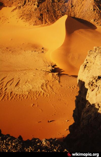
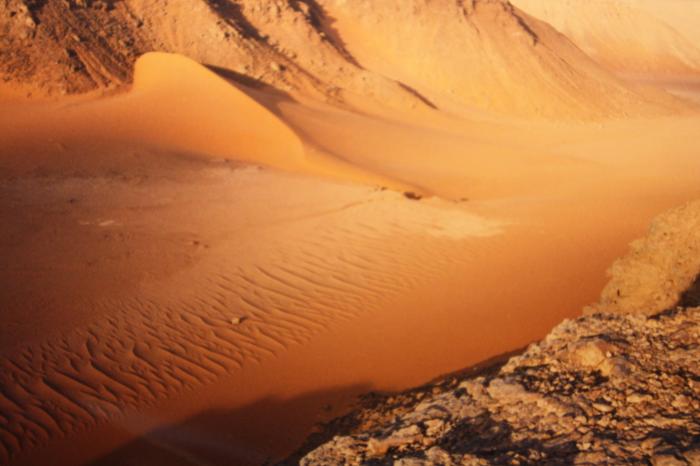
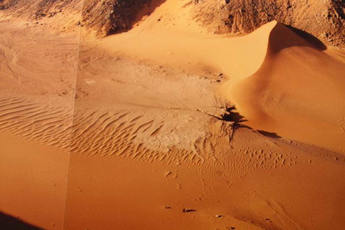
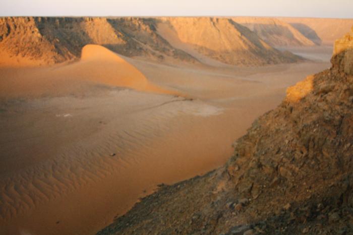

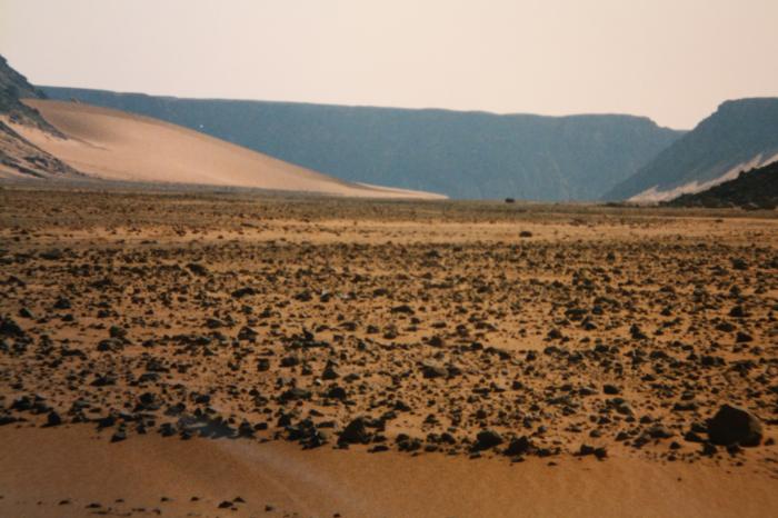
Natural dam created by a sanddune which blocked the valley in stone age times and created a lake at least for some decades until it broke. You still can see the remains and the little canyon that was cut into the mud by following rain. The foto is taken from the plateau in the south.
Nearby cities:
Coordinates: 23°12'30"N 26°16'38"E
- Wadi Bakht 4.7 km
- Maghara al Qantara 39 km
- Petroglyphs 104 km
- stone-age petroglyphs 114 km
- Wadi Sura 116 km
- Wadi Abdel Malik, upper section 119 km
- Wadi Hamra 124 km
- Petroglyph Site 179 km
- Karkur Talh 179 km
- Abu Ballas 195 km
- Wadi Wass'a 25 km
- Kamal-al-Din-Plateau 29 km
- Gilf al Kebir 93 km
- Gilf Kebir Crater Field 95 km
- Arkenu Dune, northern section 96 km
- Abu Ras Plateau 118 km
- Gilf-Saghir 118 km
- Arkenu Dune, cental section 144 km
- Abu Saad Plateau 149 km
- East Owaynat 232 km