Panopeus
| citadel, archaeological site, fortification, acropolis, stonemasonry, ancient ruins
Greece /
Voiotia /
Daulia /
World
/ Greece
/ Voiotia
/ Daulia
, 8 km from center (Δαύλεια)
World / Greece / Stereá Elláda
citadel, archaeological site, fortification, acropolis, stonemasonry, ancient ruins


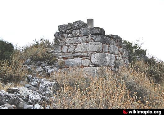
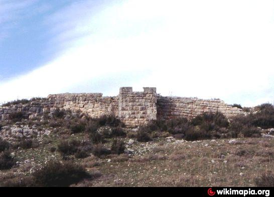


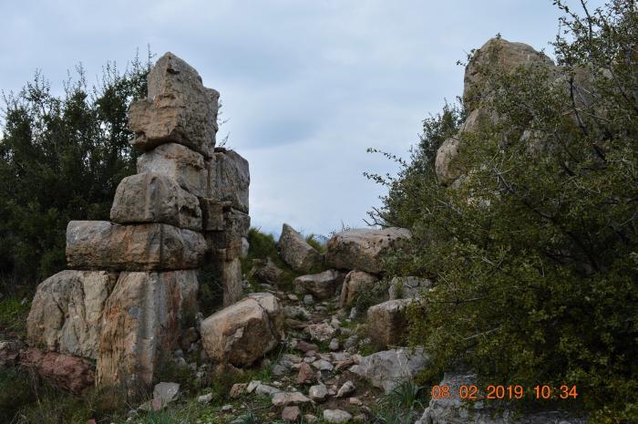
Ancient Panopeus (or Panopea) was supposedly named after Panopeus, son of Phokos, a hero of the war against Troy. It was the Phokaian city closest to Boiotia and Chaironeia. In 346 BC it was destroyed by Philip II of Macedon, although he fortified it again before his campaign against the Athenians and Thebans in 338 BC. The site represents the Upper City and Akropolis (citadel) of the ancient city, part of which extended to the north and possibly towards modern Agios Vlasios to the northeast. The earliest remains include a Mycenaean-period cyclopian fortification (on the southern edge of the akropolis), while at least part of the site continued to function as a fortress during the Middle Ages
www.youtube.com/watch?v=8MfM9WVc77A
www.youtube.com/watch?v=8MfM9WVc77A
Wikipedia article: http://en.wikipedia.org/wiki/Panopeus
Nearby cities:
Coordinates: 38°29'44"N 22°47'44"E
- Phokikon 5.1 km
- Αncient Abae 14 km
- Ancient Orchomenos 14 km
- Acropolis of ancient Elateia 17 km
- Archaeological site of Delphi 26 km
- Ancient Haliartos 28 km
- Αncient Ascra 32 km
- Thronium 32 km
- Gla - Mycenaean Citadel 33 km
- Thespiai 38 km
- Chaironeia 3.8 km
- Daulis 5.8 km
- Davlia 5.9 km
- Distomon Substation 11 km
- Solar farm 11 km
- Mount Helicon 13 km
- Μount Parnassus 23 km
- Peripheral unit of Boeotia 30 km
- Gulf of Corinth 43 km
- Peripheral unit of Phthiotis 46 km