Gulf of Corinth
Greece /
Korinthia /
Likoporia /
World
/ Greece
/ Korinthia
/ Likoporia
, 7 km from center (Λυκοποριά)
World / Greece / Stereá Elláda
bay, invisible
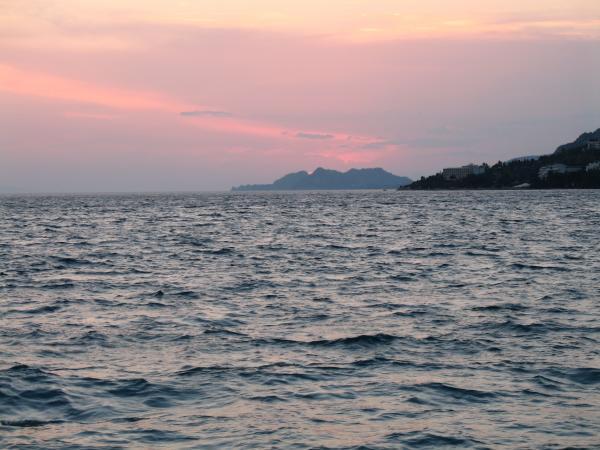
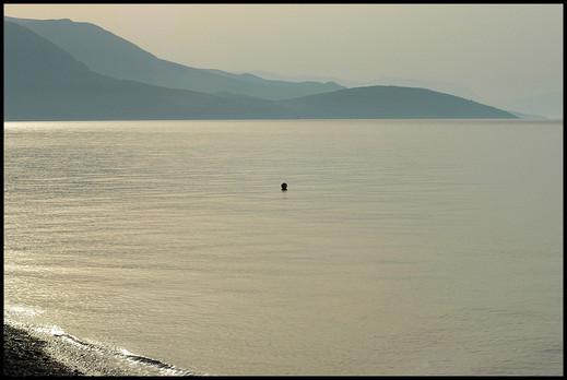
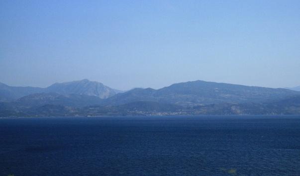
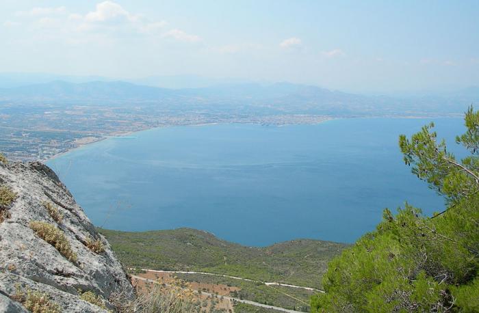
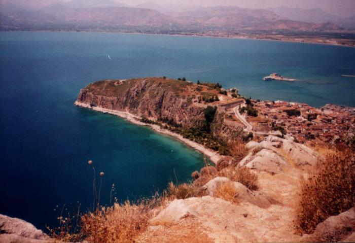
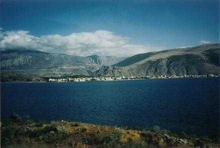
The Gulf of Corinth or the Corinthian Gulf is a deep inlet of the Ionian Sea separating the Peloponnese from western mainland Greece. It is bounded in the east by the Isthmus of Corinth which includes the shipping route of the Corinth Canal, and in the west by the Strait of Rion, which separates the Gulf of Corinth from the outer Gulf of Patras at Cape Drepano, where the narrowest point is crossed by the Rion-Antirio bridge. The Gulf of Corinth is almost surrounded by the prefectures of Aetolia-Acarnania, Phocis in the north, Boeotia in the northeast, Attica in the east, Corinthia in the southeast and south and Achaea in the southwest. The gulf is one of the most seismic regions in Europe.
In medieval times, the gulf was known as the Gulf of Lepanto. Here the third Battle of Lepanto was fought in 1571, destroying the Ottoman fleet. In 1772 another Turkish fleet was destroyed by the Russians at the entrance to the gulf. The town of Lepanto is now named Naupactus.
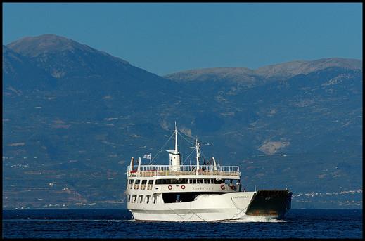
The shipping routes between Athens and to the ports of the rest of the world including the Mediterranean ports pass along this gulf. Ferry routes link Aigio and Agios Nikolaos in the western part of the gulf.
Gulf of Corinth
Gulf of Corinth
* Length: 130 km
* Width: 8.4 to 32 km
* Max Depth 935 m
In medieval times, the gulf was known as the Gulf of Lepanto. Here the third Battle of Lepanto was fought in 1571, destroying the Ottoman fleet. In 1772 another Turkish fleet was destroyed by the Russians at the entrance to the gulf. The town of Lepanto is now named Naupactus.
The shipping routes between Athens and to the ports of the rest of the world including the Mediterranean ports pass along this gulf. Ferry routes link Aigio and Agios Nikolaos in the western part of the gulf.
Gulf of Corinth
Gulf of Corinth
* Length: 130 km
* Width: 8.4 to 32 km
* Max Depth 935 m
Wikipedia article: http://en.wikipedia.org/wiki/Gulf_of_Corinth
Nearby cities:
Coordinates: 38°11'19"N 22°29'42"E
- Messenian gulf 140 km
- Gulf of Squillace 525 km
- Gulf of Taranto 578 km
- Gulf of Salerno 755 km
- Gulf of Gela 767 km
- Gulf of Sidra 925 km
- Gulf of Hammamet 1081 km
- Gulf of Tunis 1090 km
- Gulf of Gabès 1197 km
- Gulf of Valencia 1976 km
- Mavra Litharia tunnel (1224 m) 11 km
- Labinos 12 km
- Egira tunnel (800 m) 13 km
- Akràta Rail Station (Under Construction) 14 km
- Akrata tunnel (300 m) 14 km
- A8 Olympia Motorway Exit 19 Akràta 14 km
- Krathio 14 km
- Potamitikos Egialos (Porovitsa) "River Seashore (Porovitsa)" 15 km
- Peripheral unit of Corinthia 35 km
- Peripheral unit of Achaea 57 km