Peter and Paul
| mountain, geodetic point
Libya /
al-Kufrah /
World
/ Libya
/ al-Kufrah
/ al-Kufrah
, 297 km from center (الكفرة)
World / Egypt
mountain, geodetic point
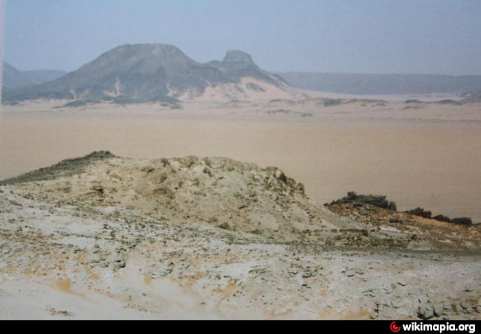
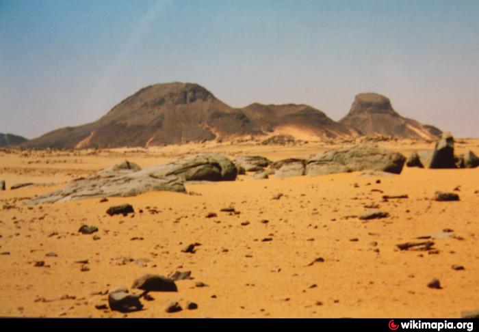
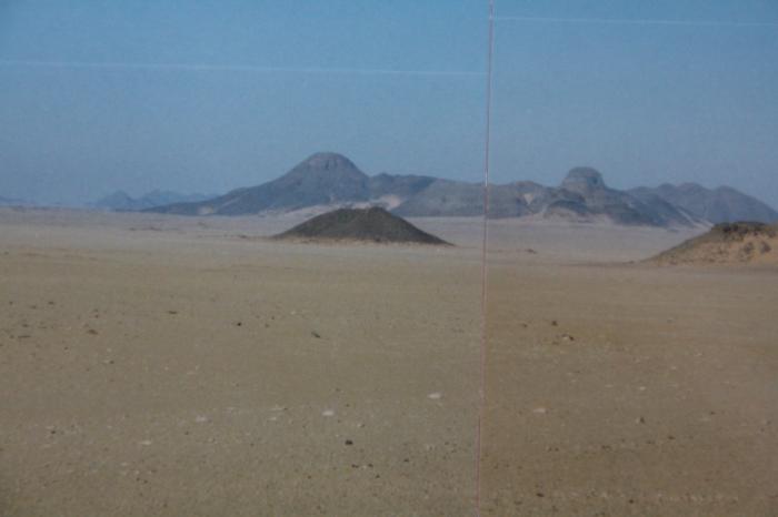

Volcanos, beware of mines in this area, the location of the mines is not exactle known, but you should avoid entrering the surrounding wadis and sand shields.
Nearby cities:
Coordinates: 22°24'50"N 25°24'53"E
- Volcano Region Uweinat - North 47 km
- Gilf-Saghir 54 km
- Jebel Babein 61 km
- Jebel Arkenu 84 km
- Umm Ras Plateau 161 km
- Abu Saad Plateau 224 km
- erroneously as "Kebira Crater" named mountains 266 km
- Gilf al Kebir 283 km
- Jebel el-Kirdaba 455 km
- Quss Abu Sa`id Plateau 563 km
- Gilf-Saghir 23 km
- Arkenu Dune, cental section 37 km
- Arkenu Dune, northern section 76 km
- Wadi Wass'a 100 km
- Kamal-al-Din-Plateau 133 km
- Gilf al Kebir 153 km
- Abu Ras Plateau 159 km
- Abu Saad Plateau 206 km
- Gilf Kebir Crater Field 212 km
- East Owaynat 308 km