Blissville
USA /
New Jersey /
West New York /
World
/ USA
/ New Jersey
/ West New York
World / United States / New York
neighbourhood
Add category


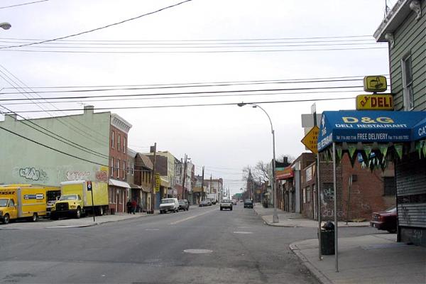


Blissville is a sub-neighborhood of Sunnyside, itself located in the southern part of the Long Island City district, situate in the western part of New York City's borough of Queens.
It is bordered by the BQE (Brooklyn Queens Expressway) to the east; the Long Island / Queens Midtown Expressway to the north; Newtown Creek to the south; and Dutch Kills, a tributary of Newtown Creek, to the west.
Blissville was named after Neziah Bliss, who owned most of the land in the 1830s and 1840s.Bliss built the first version of what was known for many years as the Blissville Bridge, a drawbridge over Newtown Creek, connecting Greenpoint, Brooklyn and Blissville. It was replaced in the 20th century by the Greenpoint Avenue Bridge, also called the J. J. Byrne Memorial Bridge, located slightly upstream.
Blissville existed as a small village until 1870 when it was incorporated with the villages of Astoria, Ravenswood, Hunters Point, Dutch Kills, Middletown, Sunnyside and Bowery Bay into Long Island City.
Wikipedia article: http://en.wikipedia.org/wiki/Blissville,_Queens
Nearby cities:
Coordinates: 40°44'1"N 73°56'3"W
- Bushwick 2.8 km
- Williamsburg 3.1 km
- Greenpoint 3.2 km
- Sunnyside 3.4 km
- Stuyvesant Heights 3.8 km
- East New York 5 km
- Astoria 6.5 km
- Canarsie 8.6 km
- Harlem (Manhattan, NY) 11 km
- Bensonhurst 13 km
- Calvary Cemetery 0.3 km
- Kosciuszko Bridge 0.7 km
- Interstate 495 Exit 17 / Interstate 278 Exit 35 1.4 km
- Sunnyside Rail Yards 1.5 km
- New Cavalry Cemetery 1.8 km
- Queens Plaza District 1.8 km
- Long Island City (Downtown) 1.9 km
- Sunnyside Gardens Historic District 2.1 km
- Western Queens 3.4 km
- Proposed Interboro Express Route 6.1 km
Comments