Lower Edmonton (London)
United Kingdom /
England /
Cheshunt /
London
World
/ United Kingdom
/ England
/ Cheshunt
World / United Kingdom / England
district, draw only border


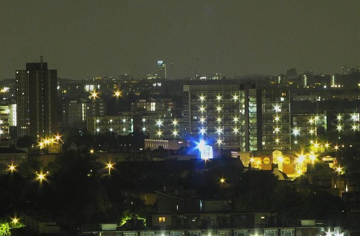
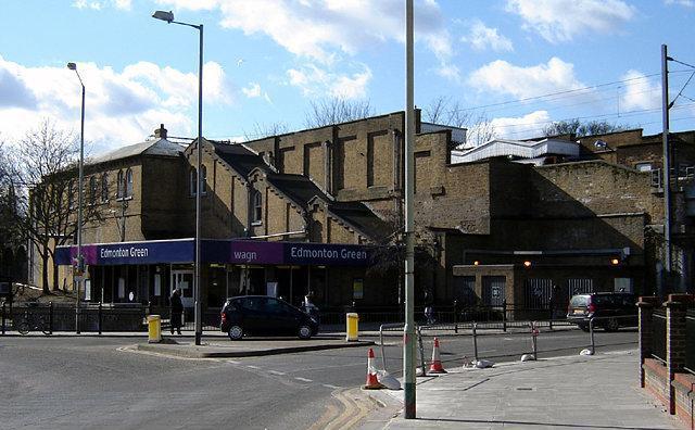
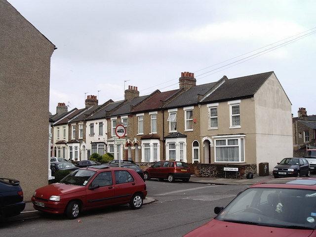

A district located on the Lea Valley in the London Borough of Enfield. Upper Edmonton is located to the south, while the larger Lower Edmonton is located to the north and makes up the centre of the town. It has a central shopping centre at Edmonton Green and railway links to London Liverpool Street. It has several high-rise developments and is one of less well-off areas of the borough.
Wikipedia article: http://en.wikipedia.org/wiki/Lower_Edmonton
Nearby cities:
Coordinates: 51°37'45"N -0°3'57"E
- Beckenham 23 km
- Wycombe District 63 km
- Redditch 153 km
- Hall Green 157 km
- Selly Oak 159 km
- Northfield 162 km
- Edgbaston 164 km
- Halesowen 169 km
- Pontypridd 229 km
- North Devon 294 km
- Lee Valley Leisure Complex 2.1 km
- William Girling Reservoir 2.8 km
- King George V Playing Fields 3 km
- Enfield Council 3.1 km
- King George V Reservoir 4 km
- Waltham Forest Council 4.4 km
- Hilly Fields Park 4.9 km
- Whitewebbs Golf Club 5.3 km
- Enfield Lock 5.4 km
- Epping Forest 8.3 km