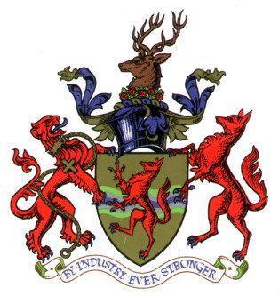
Enfield Council (Enfield)
United Kingdom /
England /
Cuffley /
Enfield
World
/ United Kingdom
/ England
/ Cuffley
World / United Kingdom / England
borough, draw only border, third-level administrative division
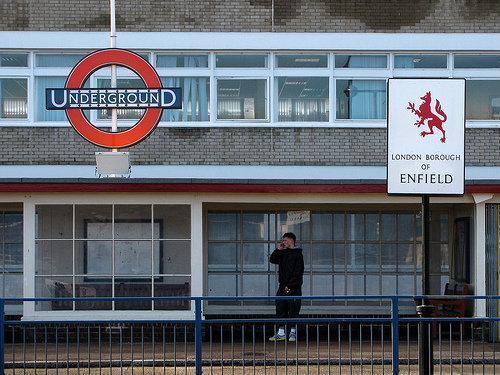


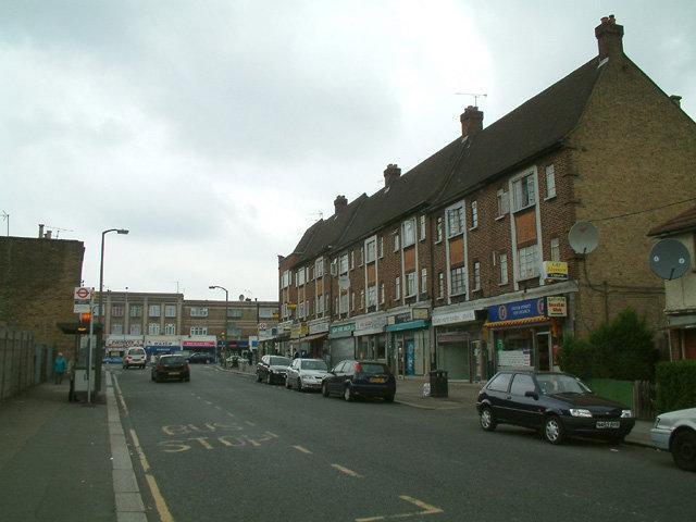
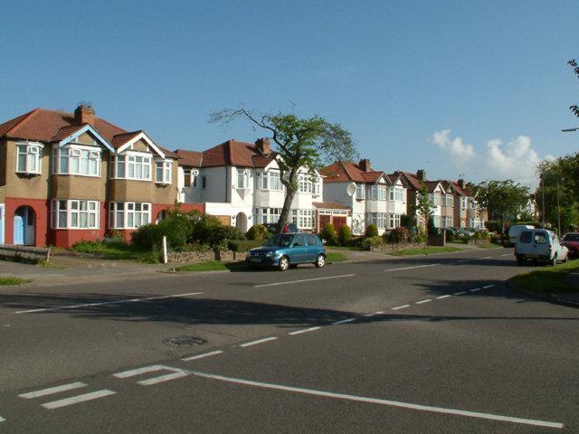
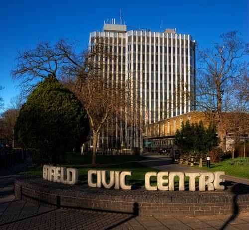
Enfield Council is the northernmost of London's borough councils, having a population of 285,100. It consists of Enfield (the Admin HQ), Edmonton and Southgate, as well as some rural area to the north.
www.enfield.gov.uk/
www.enfield.gov.uk/
Wikipedia article: http://en.wikipedia.org/wiki/Enfield_Council
Nearby cities:
Coordinates: 51°38'55"N -0°5'50"E
- Wycombe District 61 km
- Borough of Basingstoke and Deane 99 km
- South Staffordshire 198 km
- Stafford 216 km
- Staffordshire Moorlands 227 km
- Newcastle-under-Lyme Borough 229 km
- North Devon 292 km
- City of Edinburgh Council 532 km
- Las Hurdes 1336 km
- Jerez de la Frontera 1717 km
- Enfield Chase 1.2 km
- Winchmore Hill 1.6 km
- Forty Hill 2.5 km
- Oakwood 2.6 km
- Southgate 3 km
- Lower Edmonton 3.1 km
- Cockfosters 3.6 km
- Upper Edmonton 4.4 km
- Friern Barnet 5.7 km
- North Finchley 7.4 km