Hall Green (Birmingham)
United Kingdom /
England /
Birmingham
World
/ United Kingdom
/ England
/ Birmingham
World / United Kingdom / England
district, draw only border
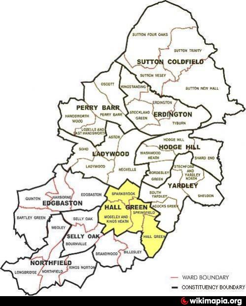
Birmingham, Yardley is a constituency represented in the House of Commons of the Parliament of the United Kingdom. It is now also a constituency district within the administrative structure of Birmingham City Council, with its own district committee. It comprises the four electoral wards of Sparkbrook, Springfield, Moseley & King's Heath and the Hall Green ward itself (see outline map above). Councillors from these wards sit on the district committee. Historically it was part of the county of Worcestershire.
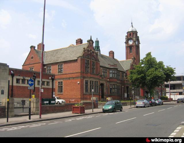
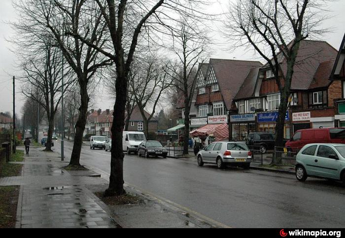
The 2001 Population Census found that there were 25,921 people living in Hall Green with a population density of 4,867 people per km², this compares with 3,649 people per km² for Birmingham. Hall Green is below average, when compared to Birmingham in general, in the percentage of population represented by ethnic minorities with the figure for Hall Green being 25.4% (6,580) and the figure for Birmingham being 29.6%. Housing is largely inter-war (mainly semi-detached) and pleasantly laid out with tree-lined roads and green spaces. There are still a good number of independent locally run shops.
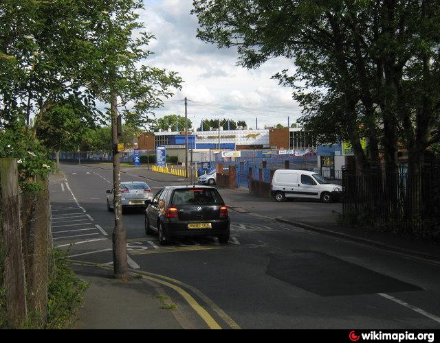
Communities and neighbourhoods (in whole or in part) within the district include: Sparkbrook, Sparkhill, Tyseley, Wake Green, Fox Hollies, Yardley Wood, King's Heath, Moor Green, Balsall Heath,
for more on the History of the Hall Green district see @:
www.birmingham.gov.uk/historyofhallgreen
www.birmingham.gov.uk/cs/Satellite?c=Page&childpagename...
for large-scale online detailed downloadable map from Birmingham C.C. used in drawing attached polygon @:
localview.birmingham.gov.uk/My_Local_Information/Sites/...
The 2001 Population Census found that there were 25,921 people living in Hall Green with a population density of 4,867 people per km², this compares with 3,649 people per km² for Birmingham. Hall Green is below average, when compared to Birmingham in general, in the percentage of population represented by ethnic minorities with the figure for Hall Green being 25.4% (6,580) and the figure for Birmingham being 29.6%. Housing is largely inter-war (mainly semi-detached) and pleasantly laid out with tree-lined roads and green spaces. There are still a good number of independent locally run shops.
Communities and neighbourhoods (in whole or in part) within the district include: Sparkbrook, Sparkhill, Tyseley, Wake Green, Fox Hollies, Yardley Wood, King's Heath, Moor Green, Balsall Heath,
for more on the History of the Hall Green district see @:
www.birmingham.gov.uk/historyofhallgreen
www.birmingham.gov.uk/cs/Satellite?c=Page&childpagename...
for large-scale online detailed downloadable map from Birmingham C.C. used in drawing attached polygon @:
localview.birmingham.gov.uk/My_Local_Information/Sites/...
Wikipedia article: http://en.wikipedia.org/wiki/Hall_Green
Nearby cities:
Coordinates: 52°26'26"N 1°52'7"W
- Selly Oak 6.3 km
- Edgbaston 11 km
- Northfield 11 km
- Redditch 15 km
- Halesowen 17 km
- Rowley Regis 17 km
- Wycombe District 96 km
- Pontypridd 137 km
- Beckenham 167 km
- North Devon 212 km
- Moseley Bog and Joy's Wood 0.6 km
- Moseley Golf Club 0.9 km
- Swanhurst Park 1.1 km
- Moseley 1.3 km
- Balti Triangle 1.7 km
- Billesley 2 km
- Tyseley Industrial Estate 2 km
- Tyseley sidings and Railway Museum 2.4 km
- Yardley 4.7 km
- Solihull (Metropolitan Borough) 9 km