Antur Fort
India /
Maharashtra /
Kannad /
World
/ India
/ Maharashtra
/ Kannad
World / India / Maharashtra / Aurangabad
ruins, place with historical importance, fortification, hillfort
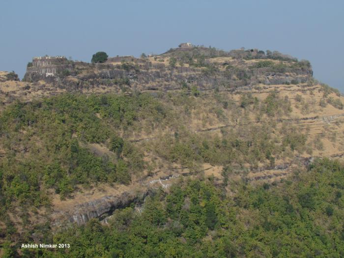
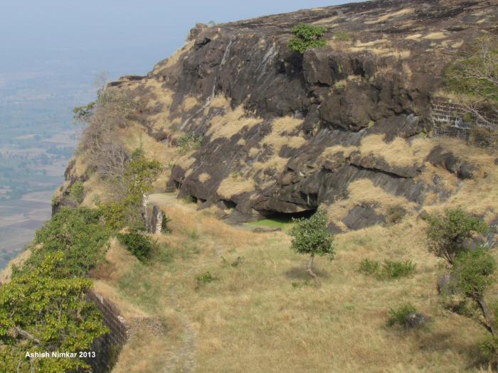
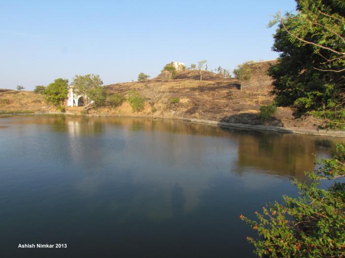
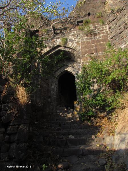
Old age hill fort build during Yadavas royal family ruling in North Maharashtra in 1 century BC. Many rock carved water tanks and big lake on top indicate the age of fortification. Fort is located on edge of Ajanta-satmala range within border of Aurangabad and Jalgaon border. At the base of range closest villages are Gopewadi, Kaaldari and close villages connected by road transport are Belkheda and Dastapur. reach there from Chalisgaon via Nagad junction or From Soygaon through Banoti junction. From top side Kholapur is closest village and Nagapur where ST buses are available to reach from Kannad and Sillod cities.
Nearby cities:
Coordinates: 20°25'38"N 75°14'7"E
- Fort Sudhagad 291 km
- Dronagiri 297 km
- Golkonda 474 km
- Maski 518 km
- Fort Wall 581 km
- Kondavid Fort 705 km
- Chudanga Garh 1102 km
- Sishupalgarh 1108 km
- Polonnaruwa Archaeological Complex 1518 km
- Rajagala Buddhist Ruins 1594 km
- Kholapur 3.6 km
- Kini Dam 5.9 km
- Revolgaon 8.1 km
- Purna Neopur Dam 8.9 km
- Sutonda Lake 10 km
- Ganesh Janjal Town 12 km
- takli antur VILLEGE 14 km
- barkatpur from suresh ghule 17 km
- Ghatnandra Ta. Sillod 17 km
- Anjana Palshi Praklpa on Anjana River 17 km
Comments