Lake Seminole
USA /
Florida /
Seminole /
World
/ USA
/ Florida
/ Seminole
World / United States / Florida
fishing area, lake, waterskiing
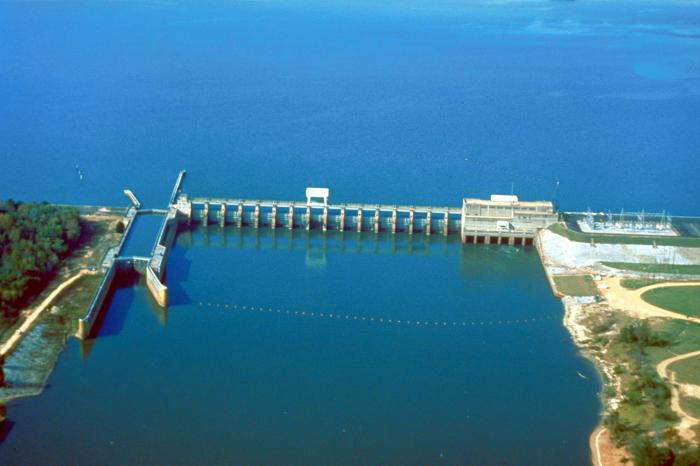
Once estuarine tidal flats, Lake Seminole was created in the 1940’s by impounding a portion of Long Bayou. Lake Seminole has been used extensively for recreational purposes including water-skiing, wakeboarding, boating, and fishing; however, over the past two decades fishing, water quality, and healthy vegetation have declined significantly.
The lake averages 5 feet above National Geodetic Vertical Datum (NGVD 27). The lake is divided into a north lobe and south lobe by an area called The Narrows.
The south lobe of the lake is home to Lake Seminole County Park which includes a boat ramp, playground, picnic areas, walking trails, and a gazebo. The park also comprises a significant portion of vegetated shoreline necessary to breakdown excess nutrient compounds before they enter Long Bayou, Boca Ciega Bay, and the Gulf of Mexico via John's Pass.
A recent water quality and habitat rehabilitation effort has been conducted as part of the Lake Seminole Watershed Management Plan built upon decades of limnological research by the Pinellas County Dept. of Environmental Management. The restoration included a shoreline cleanup and removal of invasive, exotic plants, and restoration with natives on public lands. Future endeavors include an alum-injection system to deactivate excess nutrients caused by urban runoff, and the dredging of public portions of the lake.
Several residential properties surround the lake, many of which are condominiums and mobile home parks. Houses are only found on the Northern section of the lake.
Boating Restrictions: Access permitted to vessels of all sizes, but boats drawing more than 3ft. draft will find navigation difficult.
Normal, safe operation is permitted in all areas except:
- An "idle speed - no wake" zone extends 100 ft. from all shorelines
- A "slow speed - minimum wake zone" extends from immediately south of the bridge at the Narrows northward to 110th Ave
- All canals which spur off The Narrows are "idle speed - no wake".
Wikipedia article: http://en.wikipedia.org/wiki/Lake_Seminole
Nearby cities:
Coordinates: 27°51'48"N 82°46'43"W
- Seminole Ranch Conservation Area 196 km
- Lake Jackson 337 km
- Cay Sal Bank 471 km
- The Marls 544 km
- Caesar Creek State Park 1312 km
- J.E. Roush Fish and Wildlife Area 1467 km
- French Creek State Park 1519 km
- Banner Marsh State Fish & Wildlife Area 1556 km
- Lago de Guija 1665 km
- Unare Lagoon 2683 km
- Lake Seminole Park 1.3 km
- Bardmoor Golf & Tennis Club 2.7 km
- Bayou Club 3.5 km
- Seminole Lake Country Club 3.7 km
- Long Bayou 3.9 km
- East Bay Golf Club 5.1 km
- Largo DownTown 6 km
- Pinellas County, Florida 6.2 km
- Old Tampa Bay 17 km
- Tampa Bay 23 km