Nordvik
Russia /
Saha /
Saskylakh /
World
/ Russia
/ Saha
/ Saskylakh
, 305 km from center (Саскылах)
World
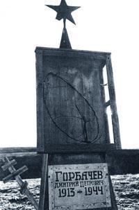
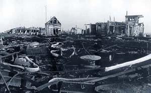
seaport, place with historical importance, ghost town, GULAG
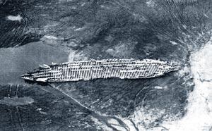
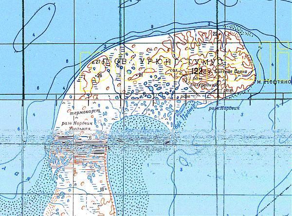
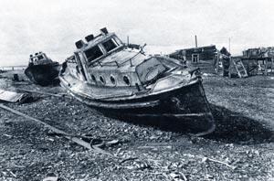
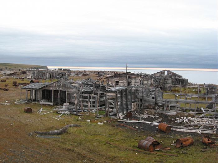
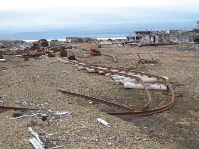
Nordvik (Russian: Нордвик) was a rural locality (a settlement) and a harbor-port in Krasnoyarsk Krai, Russian SFSR, Soviet Union, located on the Khatanga Gulf (Laptev Sea) at the mouth of the Khatanga River, on the Uryung Tumus Peninsula, west of a bay called Nordvik Bay.
Wikipedia article: http://en.wikipedia.org/wiki/Nordvik,_Russia
Nearby cities:
Coordinates: 73°59'51"N 111°27'48"E
- Separate storage item (OLP) «Rubak» in the composition of Norilsky ITL GULAG. The most northerly island GULAG! 322 km
- Winter Bay 344 km
- Isle of Dawn 453 km
- Sannikov Strait 857 km
- cape Saint Nose 927 km
- Jeannette Island 1302 km
- Bay Ambarchik. «North Gate» DALSTROYA GULAG. 1764 km
- Pevek 2002 km
- Chaunsky ITL DALSTROYA GULAG. CHAUNLAG - Uranium mining Chukotka 2031 km
- Pegtymel petroglyphs 2125 km
- Nordvik Bay 25 km
- Radio station 59 km