Angel Island
USA /
California /
Tiburon /
World
/ USA
/ California
/ Tiburon
World / United States / California
island, green area

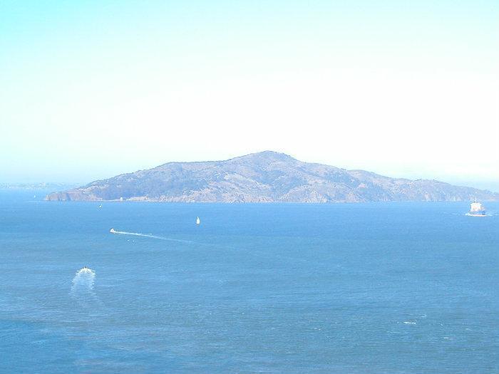
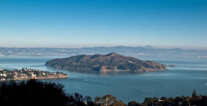
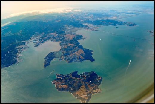
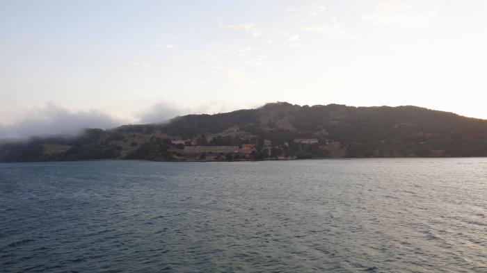
Angel Island is the largest Island in San Francisco Bay, located one mile south of the Tiburon Peninsula. Park Headquarters and the main visitor's center are in Ayala Cove on the North side of the Island, accessible by commercial ferries and private boats.
www.angelisland.org/
www.angelisland.org/
Wikipedia article: http://en.wikipedia.org/wiki/Angel_Island,_California
Nearby cities:
Coordinates: 37°51'44"N 122°25'56"W
- Mount Tamalpais State Park 18 km
- Mount Tamalpais Watershed 30 km
- Tomales Point 65 km
- Point Reyes National Seashore 67 km
- Annadel State Park 69 km
- Sugarloaf Ridge State Park 71 km
- Sonoma Coast State Park 90 km
- Robert Louis Stevenson State Park 94 km
- Fort Ross State Historic Park 105 km
- Salt Point State Park 118 km
- Mount Livermore 0.1 km
- Ayala Cove 0.7 km
- Camp Reynolds 0.9 km
- Keil Cove 2 km
- Bluff Point 2.3 km
- Old St. Hilary's Preserve 3.1 km
- Romberg Tiburon Center for Environmental Studies 3.5 km
- Belvedere Lagoon 3.5 km
- Richardson Bay 5.3 km
- San Francisco Bay 21 km
Comments