Civic Center
USA /
New Jersey /
Hoboken /
World
/ USA
/ New Jersey
/ Hoboken
World / United States / New York
neighbourhood, invisible
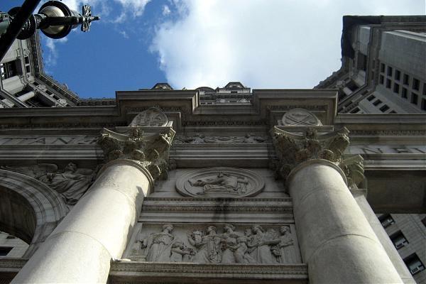
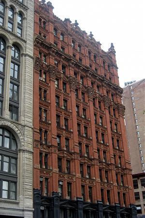

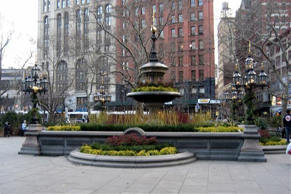
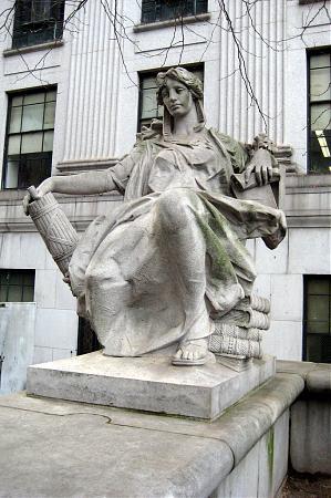
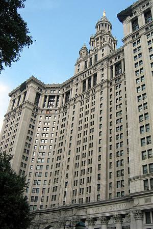
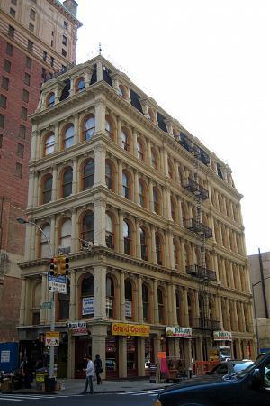
Civic Center is a neighborhood in downtown Manhattan covering the area around New York City Hall. It is bounded on the west by Broadway, on the north by Canal Street, on the east by Pearl Street and Chinatown, and on the south by the Financial District.
In addition to City Hall, the Manhattan Municipal Building, Foley Square, New York City Hall Park, Pace University, and the South Street Seaport are located in the neighborhood
In addition to City Hall, the Manhattan Municipal Building, Foley Square, New York City Hall Park, Pace University, and the South Street Seaport are located in the neighborhood
Wikipedia article: http://en.wikipedia.org/wiki/Civic_Center,_Manhattan
Nearby cities:
Coordinates: 40°42'52"N 74°0'12"W
- Williamsburg 3.2 km
- Greenpoint 3.8 km
- Stuyvesant Heights 5 km
- Bushwick 5.2 km
- Sunnyside 5.7 km
- East New York 8.7 km
- Bensonhurst 8.9 km
- Canarsie 10 km
- Astoria 10 km
- Harlem (Manhattan, NY) 14 km
- NYPD Civic Center Security Zone 0.2 km
- City Hall Park 0.3 km
- Newspaper Row District 0.5 km
- Chambers Street/World Trade Center/Park Place Subway Station (2,3,A,C,E) 0.5 km
- Canyon of Heroes 0.9 km
- Lower (Downtown) Manhattan 1 km
- Hudson County, New Jersey 6.2 km
- Manhattan 7.9 km
- Brooklyn 9 km
- Queens 13 km