Yelimwon Map of the Korean Peninsula Pond
Korea (South) /
Kangwon /
Samchok /
World
/ Korea (South)
/ Kangwon
/ Samchok
pond
Add category
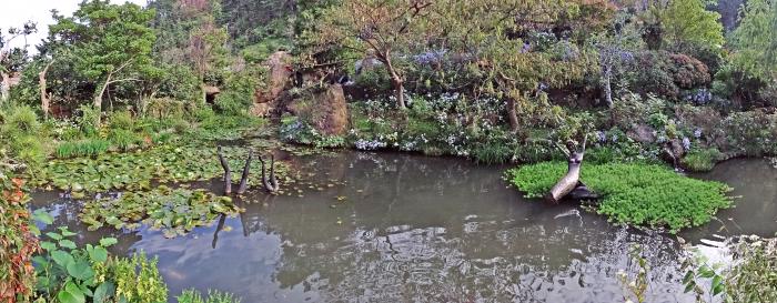
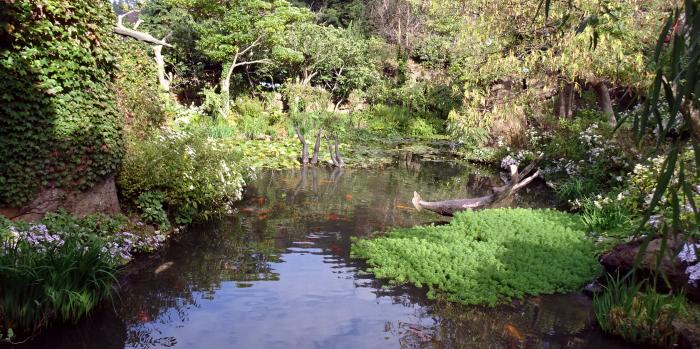
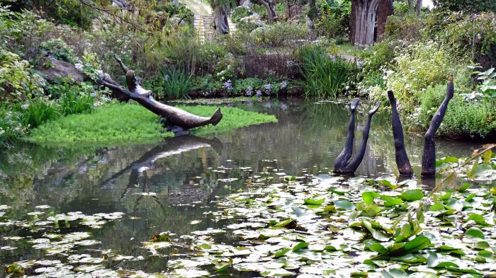


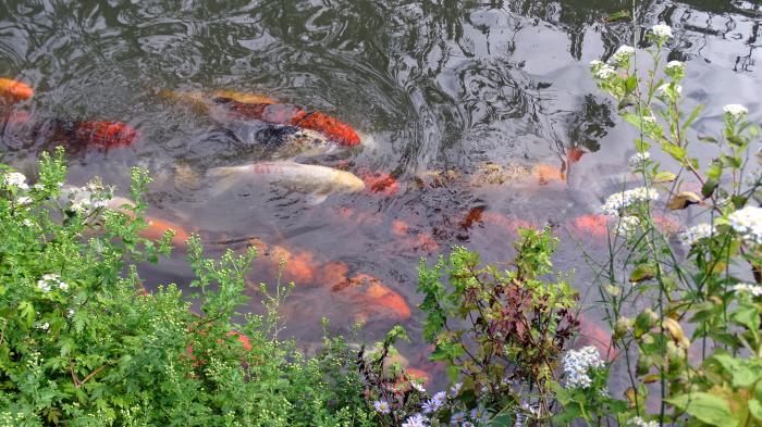
Yellim Map of the Korean Peninsula Pond is the largest of the water features with the pond in the shape of the Korean Peninsula.
Nearby cities:
Coordinates: 37°31'48"N 130°50'9"E
- Samryang Solar Salt Farm 397 km
- Yonggwang Fish Farm 408 km
- Gomso Solar Salt Farm 435 km
- Munyeodo (Munyo Island) 439 km
- Mannō-ike Lake 463 km
- Hira-ike Pond 464 km
- Fish Pond 464 km
- Oima-ike Pond 467 km
- hydro electric dam 485 km
- Hoesan White Lotus Pond (회산 백련지) 488 km
- Ulleungdo (Ulleung Island) 3.7 km
- The Pristine Forest at Seongin Peak 3.7 km
- Seonginbong 5.1 km
- Location of the loss of the cruiser "Svetlana" 106 km
- KHNP, Hanul Nuclear Power Plant 138 km
- Hupo-myeon 155 km
- Tonghae Satellite Launching Station 384 km
- Hwadae-gun (Hwadae County) 389 km
- Myŏngch'ŏn-gun (Myonchon County) 410 km
- Kilju-gun (Kilju County) 418 km