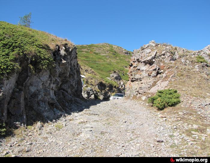
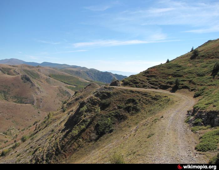
Roman Road Escus - Philippopolis
Bulgaria /
Lovec /
Trojan /
World
/ Bulgaria
/ Lovec
/ Trojan
, 18 km from center (Троян)
road, ancient, Roman Empire


Nearby cities:
Coordinates: 42°44'44"N 24°37'50"E
- Sozopol Bypass Road 252 km
- A4, Cherno More 264 km
- Knyaz Boris I Blvd. (continuation) 273 km
- Transalpina (DN 67C)-offroad 309 km
- Roman road 343 km
- Roman road 347 km
- The Romans' Road 504 km
- Carol I Boulevard(Copou Boulevard) 546 km
- Bad Road. 634 km
- Дамба 755 km
- Dzhafar Dere Stow 1.7 km
- Sub Radices Station 2.7 km
- Central Balkan National Park 4.3 km
- Beklemeto Pass 5.1 km
- River Cherni Osam Canyon - Steneto 5.9 km
- Steneto Reserve 5.9 km
- Military Poligon 9 km
- Karlovo Municipality 13 km
- Troyan Municipality 14 km
- Rozovata Dolina (Rose Valley) 46 km