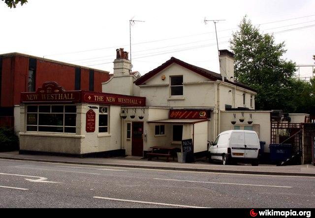
The New Westhall (Bath)
United Kingdom /
England /
Bath /
A4 Upper Bristol Road
World
/ United Kingdom
/ England
/ Bath
pub / public house
Add category
Nearby cities:
Coordinates: 51°23'7"N 2°22'40"W
- The King of Wessex Restaurant 1 km
- New Inn 8.4 km
- Griffin 10 km
- The Leap 15 km
- Chalford 20 km
- The Slab House Inn (Derelict) 22 km
- Hungry Horse - Lord Nelson 28 km
- The Albion 29 km
- The Red Lion PH 29 km
- Bath Arms Hotel (closed) 30 km
- Household Waste Recycling Centre
- Victoria Park Childrens Playground 0.1 km
- Lower Common West Allotments (organic site) 0.2 km
- St Michael's Cemetery 0.3 km
- Lower Common East Allotments 0.4 km
- Homebase Carpark 0.6 km
- Hayesfield Lower School 0.7 km
- St James Cemetery 0.7 km
- Twerton Cemetery 0.7 km
- Somerset 52 km