Victoria Park Childrens Playground (Bath)
United Kingdom /
England /
Bath
World
/ United Kingdom
/ England
/ Bath
World / United Kingdom / England
park, playground
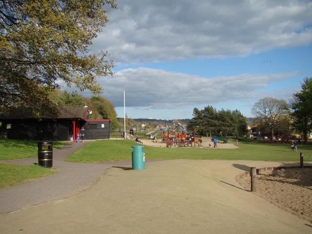
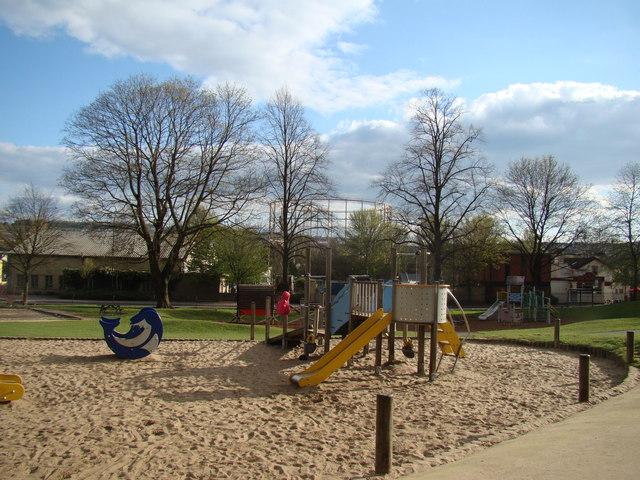
Big playground for kids, lots to do
Nearby cities:
Coordinates: 51°23'8"N 2°22'36"W
- Newton Park Estate 5.3 km
- Ammerdown Park 12 km
- Orchardleigh Park 13 km
- Mells Park 16 km
- Black Dog Woods 17 km
- Asham Woods 19 km
- Marston Park 19 km
- Longleat Woods 21 km
- Longleat Forest 22 km
- Southleigh Woods 25 km
- Household Waste Recycling Centre 0.1 km
- Argos 0.1 km
- Lower Common West Allotments (organic site) 0.2 km
- Lower Common East Allotments 0.3 km
- St Michael's Cemetery 0.4 km
- Homebase Carpark 0.5 km
- St James Cemetery 0.7 km
- Hayesfield Lower School 0.7 km
- Twerton Cemetery 0.8 km
- Somerset 53 km