Margalla Hills
Pakistan /
Federal Capital Area /
Islamabad /
World
/ Pakistan
/ Federal Capital Area
/ Islamabad
mountain, park, mountain range
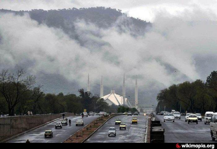
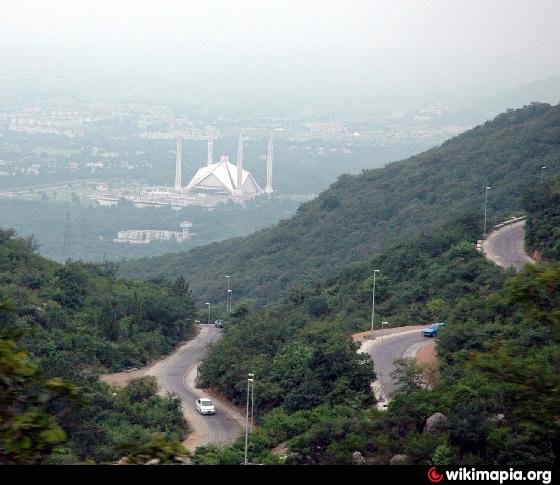
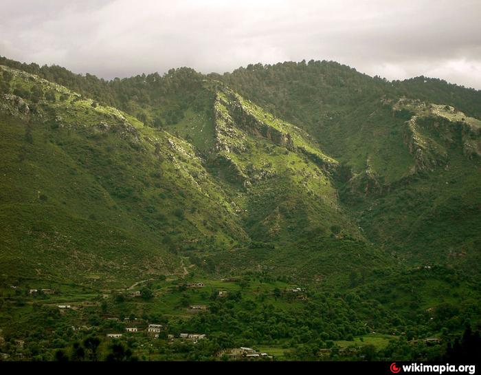

The Margalla Hills — also called the Margalla Mountain Range, is a hill range part of the lesser Himalayas located north of Islamabad, Pakistan. Margalla Range has an area of 12,605 hectares. The hills are a part of Murree hills. It is a range with many valleys as well as high mountains.The hill range nestles between an elevation of 685 meters at the western end and 1,604 meters on its east with average height of 1000 meters. Its highest peak is Tilla Charouni. The range gets snowfall in winters.
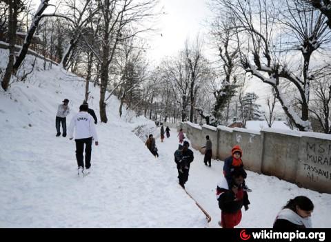
On 6 January 2012, after almost six years, Pir Sohawa, the city’s highest tourist spot, received few inches of snowfall.
On 6 January 2012, after almost six years, Pir Sohawa, the city’s highest tourist spot, received few inches of snowfall.
Wikipedia article: http://en.wikipedia.org/wiki/Margalla_Hills
Nearby cities:
Coordinates: 33°44'40"N 73°0'40"E
- Mazartag 778 km
- Mulguzar Mountains 852 km
- Atbashi Range 853 km
- Konar Zard Kuh 1923 km
- Kuh-e-Sefid 2176 km
- Sabalan Mountain Range 2400 km
- Kabir Kuh - 3050 m 2452 km
- Sahand Mountain Range 2475 km
- Zangezur Mountains 2524 km
- Gegham mountains 2600 km
- margalla hills 1.6 km
- Naval Head Quarters (NHQ) 2.1 km
- AIR HEADQUARTERS 2.3 km
- Margala Sports Complex 2.4 km
- Margalla Green Golf Club 2.5 km
- Sector E-8 3.3 km
- Al-Haj Raja Matloob Ahmed's Property 3.8 km
- CH Fazal Ellahi property 5.5 km
- Blue Area 5.9 km
- Khanpur Dam Water Reservoir 9 km