Sunset Point
Malaysia /
Sabah /
Kota Kinabalu /
World
/ Malaysia
/ Sabah
/ Kota Kinabalu
headland (geography), interesting place
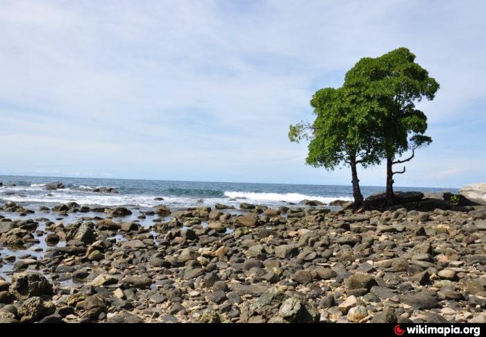
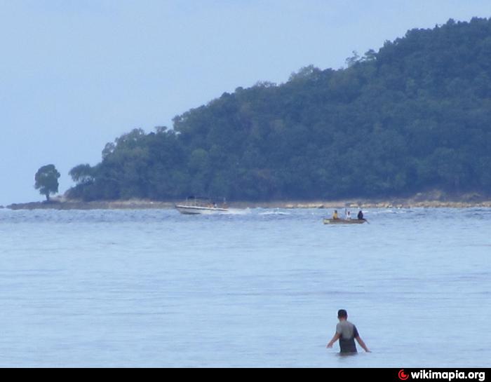
Sunset Point is the southern tip of Manukan Island that can be reached by certain hiking trails on the island. It is a rocky shore with two distinctive trees which commands a wide view of the coastline of Kota Kinabalu. From the city, this point can be seen clearly by sharp observers.
Nearby cities:
Coordinates: 5°58'14"N 115°59'43"E
- Gondol Hill 19 km
- Ruhiang Hill 36 km
- Matinggi Beach 36 km
- Kampung Melangkap Baru 56 km
- Desa Dairy Farm 66 km
- Mantanani Besar Island 92 km
- Marudu Bay 129 km
- The Tip of Borneo (Tanjung Simpang Mengayau) 145 km
- SAFODA Tree Plantation project 156 km
- Rainforest Discovery Centre (RDC) 215 km
- Manukan Island 0.8 km
- Generator Room 1 km
- Manukan Island Jetty 1.2 km
- Mamutik Island 2.1 km
- Mid Reef 2.3 km
- Tunku Abdul Rahman National Park 4.4 km
- Sapi Island 4.5 km
- Gaya Island 6.9 km
- Tanjung Bulijong 7.5 km
- Gaya Island Lighthouse 8 km