The Tip of Borneo (Tanjung Simpang Mengayau) (Kudat District)
Malaysia /
Sabah /
Kudat /
Kudat District
World
/ Malaysia
/ Sabah
/ Kudat
World / Malaysia / Sabah
cape (geography), interesting place
This dramatic headland in the area of Tanjung Simpang Mengayau is situated in the northern-most tip of Borneo, the third largest island in the world, after Greenland and New Guinea. It is located in the Kudat Peninsula, about three and a half hours (or 215 kilometres) drive from Kota Kinabalu city.
Simpang Mengayau means 'lingering junction' as it is here that the South China Sea lingers and meets the Sulu Seas flowing from the east . Enjoy the stunning view, sunsets and full moon. The nearby Kalampunian Island lighthouse is a reminder of treacherous coastline and past shipwrecks. On the left is the beautiful beach of Kalampunian.
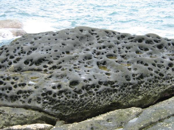
It's a lovely easy stroll to the flagpole, the globe and the rocky outcrop that forms the "Tip of Borneo".
www.mysabah.com/tip-of-borneo/
Simpang Mengayau means 'lingering junction' as it is here that the South China Sea lingers and meets the Sulu Seas flowing from the east . Enjoy the stunning view, sunsets and full moon. The nearby Kalampunian Island lighthouse is a reminder of treacherous coastline and past shipwrecks. On the left is the beautiful beach of Kalampunian.
It's a lovely easy stroll to the flagpole, the globe and the rocky outcrop that forms the "Tip of Borneo".
www.mysabah.com/tip-of-borneo/
Wikipedia article: http://en.wikipedia.org/wiki/Northernmost_tip_of_Borneo
Nearby cities:
Coordinates: 7°2'4"N 116°44'54"E
- Tanjung Pager 712 km
- Tanjung Labuanbini 727 km
- Tanjung Senyangang 795 km
- Tanjung Dako 822 km
- Biro Cape 845 km
- Tanjung Lemo 852 km
- Papalanpungan Cape 1157 km
- Tuaduwata Cape 1165 km
- Tanjung Dehegila 1393 km
- Tanjung Liliamaceceke 1394 km
- Balambangan Island 34 km
- Kudat District 38 km
- Banggi Island 52 km
- Malawali Island 61 km
- Coycoy Coral Reef 74 km
- Lumbucán Channel 98 km
- Balabac Great Reef 101 km
- Balabac Island 105 km
- Comirán Channel 108 km
- Coral Bay 169 km
Comments