Central Area (Stara Zagora)
Bulgaria /
Stara Zagora /
Stara Zagora
World
/ Bulgaria
/ Stara Zagora
/ Stara Zagora
, 1 km from center (Стара Загора)
World / Bulgaria / Stara Zagora
quarter (urban subdivision), invisible

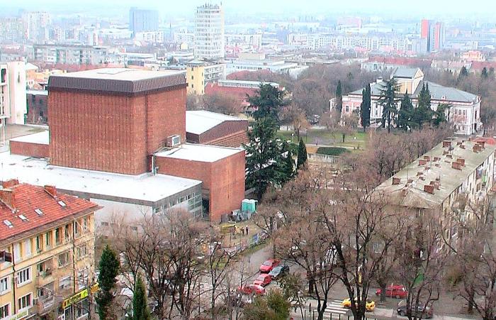
The city is divided into separate neighborhoods around its central part. Before the Second World War, neighborhoods of refugees from the Thracian and Macedonian Bulgarian lands were formed on the outskirts of the city. Most of the neighborhoods were built after World War II, after the rural population of the region moved en masse to the city to provide labor for the new industrial facilities. Several neighborhoods are annexed villages .
Nearby cities:
Coordinates: 42°25'35"N 25°37'56"E
- Sоuthern Industrial Zone 1.8 km
- Kazanlashki Mineralni Bani Quarter 26 km
- Vazrozhdentsi neighbourhood 90 km
- Dolno Ezerovo 142 km
- Banevo 145 km
- Meden Rudnik 145 km
- Kraymorie 151 km
- Cherno More 153 km
- Sarafovo 155 km
- Budzhaka 170 km
- Aleksandar Stamboliyski Park 0.1 km
- Vasil Levski High School 0.2 km
- Pedestrian Zone 0.3 km
- Yan Bibiyan Kindergarten 0.3 km
- "Orbita" District 0.3 km
- Rоmain Rolland School of Foreign Languages 0.3 km
- Sоuthern Industrial Zone 1.5 km
- Stara Zagora Region 3.3 km
- Stara Zagora Municipality 6.8 km
- Upper Thracian Plain 37 km