Upper Thracian Plain
Bulgaria /
Stara Zagora /
Chirpan /
World
/ Bulgaria
/ Stara Zagora
/ Chirpan
, 12 km from center (Чирпан)
World / Bulgaria / Stara Zagora
valley, invisible, draw only border

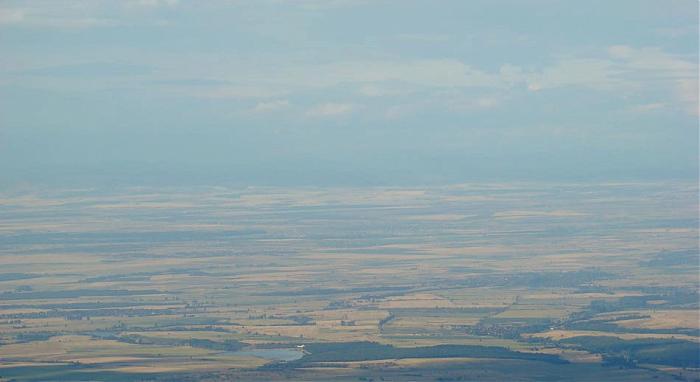
The Upper Thracian Plain constitutes the northern part of the historical region of Thrace. It is located in Southern Bulgaria, between the Sredna Gora mountains to the north and west and the Rhodopes mountains to the south. A fertile agricultural region, the Upper Thracian Plain has an area of 6,032 km² and an average elevation of 168m. It is one of the most densely populated region in Bulgaria with approximately 1.7mln. people living here.
Polygon by Marketolog.
Polygon by Marketolog.
Wikipedia article: http://en.wikipedia.org/wiki/Upper_Thracian_Plain
Nearby cities:
Coordinates: 42°7'59"N 25°25'19"E
- Stara Zagora Municipality 49 km
- Nova Zagora Municipality 66 km
- Tundzha Municipaltiy 79 km
- Elhovo Municipality 81 km
- Stara Zagora Region 83 km
- Yambol Region 88 km
- Sliven Municipality 104 km
- Sliven Province 105 km
- Kotel Municipality 118 km
- Veliko Tarnovo Municipality 127 km
- Tsenovo Lake 0.7 km
- The Land of Tselina Village 1.4 km
- The Land of Zlatna Livada Village 2.9 km
- The Land of Tsenovo village 2.9 km
- Zlatna Livada Monastery St. Athanasius 3.1 km
- The Land of Darzhava village 4.4 km
- The Land of Velikan village 4.8 km
- The Land of Zetyovo Village 4.9 km
- Coal ash embankment 5.1 km
- The Land of Gita village 7.7 km