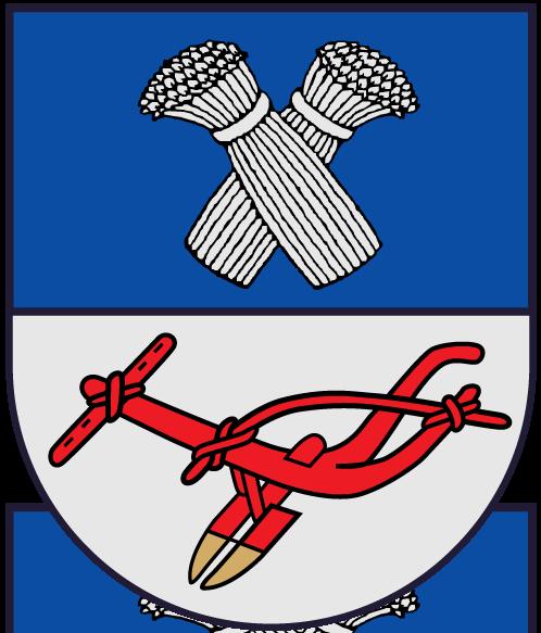
Panevėžys district municipality
| second-level administrative division
Lithuania /
Panevezhio /
Panevezhys /
World
/ Lithuania
/ Panevezhio
/ Panevezhys
World / Lithuania / Panevezio
municipality, invisible, second-level administrative division
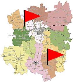
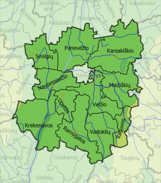
Located in northern Lithuania, covers area of 2179 km². Divided into 12 elderships. Administrative centre - Panevėžys (has a separate city mnicipality status), the only city is Ramygala.
Municipality is known as agriculture country, lies in Nevėžis lowlands. Municipality is dominated by plains, 33% of area are forested. Part of territory is preserved by rekenava regional park. The longest rivers are Nevėžis, Lėvuo, Pyesa. Highway Via Baltica is extended across the municipality area.
www.panrs.lt/eng/index.htm
Wikipedia article: http://en.wikipedia.org/wiki/Panevėžys_district_municipality
Nearby cities:
Coordinates: 55°37'28"N 24°20'17"E
- Anykščiai district municipality 25 km
- Kėdainiai district municipality 53 km
- Vilnius district municipality 74 km
- Švenčionys district municipality 89 km
- Ignalina district municipality 96 km
- Kelmė district municipality 123 km
- Jurbarkas district municipality 134 km
- Varėna district municipality 134 km
- Olevsk urban hromada 486 km
- Ivankiv Raion 599 km
- Upytė eldership 7.3 km
- Velžys eldership 11 km
- Ramygala eldership 12 km
- Industrial area 14 km
- Pajuostis aerodrome 14 km
- Panevėžys eldership 15 km
- Vadokliai eldership 17 km
- Miežiškiai eldership 17 km
- Raguva eldership 20 km
- Karsakiškis eldership 27 km
Comments