Vellore Airport
India /
Tamil Nadu /
Velluru /
World
/ India
/ Tamil Nadu
/ Velluru
World / India / Tamil Nadu / Vellore
airport
Add category
(IATA: none – ICAO: VOVR)
The civil Aerodrome at Vellore is presently used by the 76 year old Madras Flying Club for training civilian Pilots from ab initio level to qualifying for Commercial Pilots Licences.
Airport type : Public
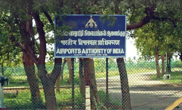
Operator : Indian Air Force
Serves : Vellore
Location : Vellore
Elevation AMSL : 764 ft / 233 m
Direction : 07/25
Lenght : 2,600 & 792
Surface : Porous European Mix (PEM) / Asphalt concrete
The civil Aerodrome at Vellore is presently used by the 76 year old Madras Flying Club for training civilian Pilots from ab initio level to qualifying for Commercial Pilots Licences.
Airport type : Public
Operator : Indian Air Force
Serves : Vellore
Location : Vellore
Elevation AMSL : 764 ft / 233 m
Direction : 07/25
Lenght : 2,600 & 792
Surface : Porous European Mix (PEM) / Asphalt concrete
Wikipedia article: http://en.wikipedia.org/wiki/Vellore_Airport
Nearby cities:
Coordinates: 12°54'31"N 79°3'58"E
- INS Rajali / Arakkonam Naval Air Station 69 km
- New Proposed Site 2nd International GreenFiend Chennai Airport 98 km
- Chennai International Airport 118 km
- KADAPA AIRPORT 183 km
- Visakhapatnam Airport 697 km
- Vizianagaram Western Bypass / NH 26 744 km
- Dr. Babasaheb Ambedkar International Airport 913 km
- Biju Patnaik International Airport 1089 km
- Charbatia Air Base 1119 km
- Jharsuguda Airport 1134 km
- Anpoondi 0.2 km
- ABDULLAPURAM 1.3 km
- ANPOONDI VILLAGE 1.5 km
- Monavour Lake 3.4 km
- keelvilachure 4.9 km
- Vilundhakkal Village panchayat 5.9 km
- Vizundhangal Lake 6.3 km
- mudinampet panchayat 6.9 km
- vickramachi eari behind (mathanarasu native) 8.5 km
- Kumaragiri Hill 9 km
Comments