Cape Sinemorets
Bulgaria /
Burgas /
Ahtopol /
World
/ Bulgaria
/ Burgas
/ Ahtopol
, 7 km from center (Ахтопол)
World / Bulgaria / Burgas
cape (geography), invisible
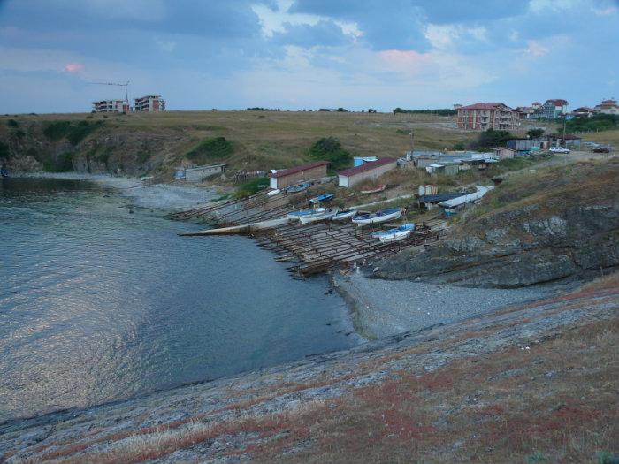
There is a fortress or fortified settlement on Cape Sinemorets, 1.2 km east in a straight line from the center of the village of Sinemorets. It is built on a peninsula surrounded to the north, east and south by sheer cliffs and the sea that breaks in them. The only access to the peninsula is from the west, where the main protection of the fortification was built. It is a rampart or fortress wall that is raised in a straight line in a north-south direction, from slope to slope. The barrier facility is currently traced in the form of an embankment 2 m high and 5-6 m wide. In front of it was carved a large and wide ditch, which has a preserved depth of 2-3 m and a width of more than 8 m.
Nearby cities:
Coordinates: 42°3'35"N 27°59'31"E
- Cape of Limankoy 16 km
- Cape Kaliakra 152 km
- Ceatalul Ismail 359 km
- Cape Aja 529 km
- Cape Malyi Fontan 537 km
- Kaldan Cape 624 km
- Ai-Foka Cape 632 km
- Meganom Cape 648 km
- Fonar cape 787 km
- Red Lighthouse Cape 1068 km
- Butamyata Beach 0.7 km
- Picturesque Rocks 0.9 km
- Lipite Beach 1.4 km
- North Beach of Sinemorets 1.9 km
- Veleka River Estuary 2 km
- Silistar Protected Site 4.2 km
- Ustieto Na Reka Veleka Protected Site 4.8 km
- Tsarevo Municipality 13 km
- Hasekiyata 31 km
- Mount Yıldız / Strandzha 32 km