Kilburn (London)
United Kingdom /
England /
London
World
/ United Kingdom
/ England
/ London
World / United Kingdom / England
district, draw only border
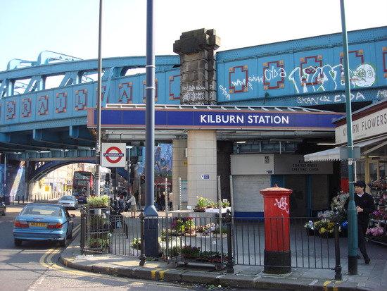
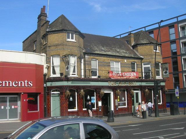
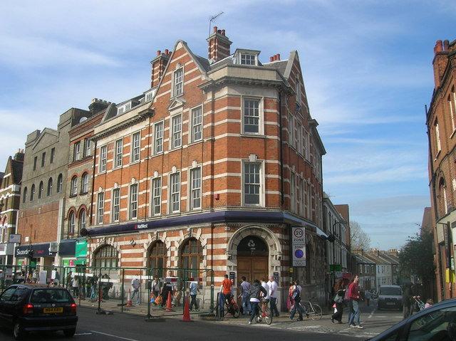
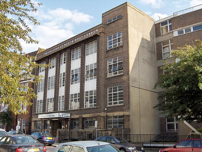
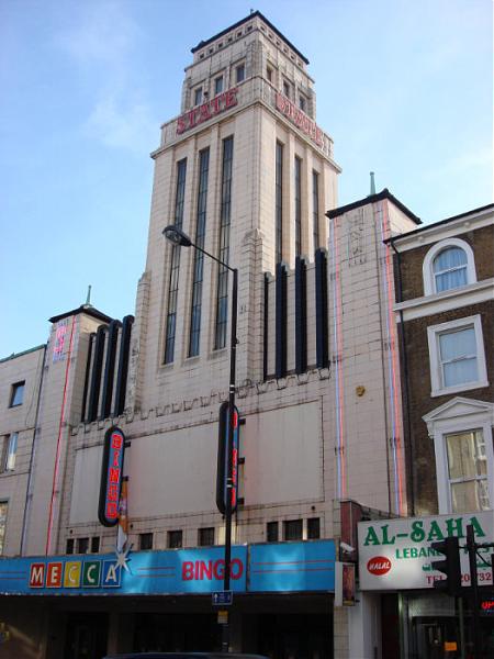
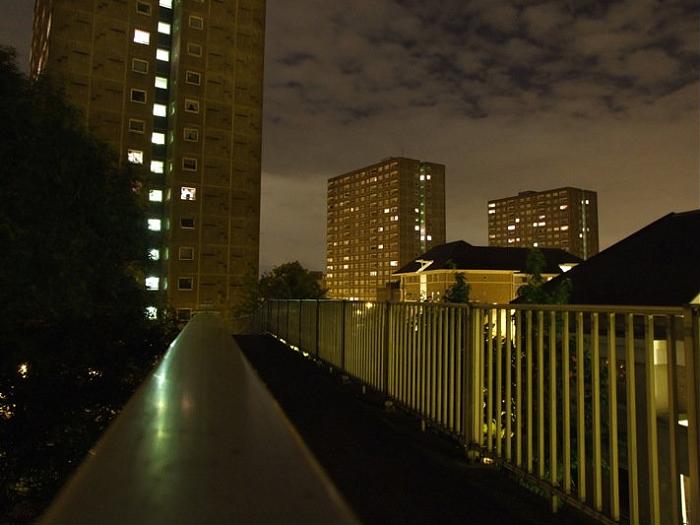
Kilburn is an area of London on either sides of the A5 Watling Street, which divides the London Boroughs of Brent and Camden. It has a high Irish population, and many other ethnic groups. It originated as a priory by a brook (Burn = bourne - stream). Part of its area can also come under Brondesbury.
Wikipedia article: http://en.wikipedia.org/wiki/Kilburn,_London
Nearby cities:
Coordinates: 51°32'13"N -0°11'53"E
- Beckenham 15 km
- Wycombe District 59 km
- Redditch 151 km
- Hall Green 157 km
- Selly Oak 158 km
- Northfield 161 km
- Edgbaston 163 km
- Halesowen 168 km
- Pontypridd 220 km
- North Devon 284 km
- Paddington Old Cemetery 0.5 km
- Kilburn Grange Park 0.7 km
- Queen's Park 0.9 km
- Fordwych Nursery 1.1 km
- West End Sidings Estate 1.3 km
- Queens Park Community School 1.5 km
- West End Estate 1.5 km
- Camden Council 2.8 km
- City of Westminster 3.7 km
- Brent Council 5.4 km