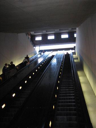
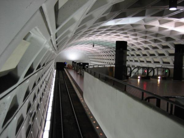
Federal Center SW Metro Station (Washington, D.C.)
USA /
District of Columbia /
Washington /
Washington, D.C. /
3rd Street Southwest, 401
World
/ USA
/ District of Columbia
/ Washington
World / United States / District of Columbia
metro station, 1977_construction, 1970s construction


Blue Line- in the directions of:
<--Franconia/Springfield= Springfield, VA
--> Largo Town Center= Largo, MD
Orange Line- in the directions of:
<--Vienna= Vienna, VA
-->New Carrolton= New Carrolton, MD
Next Stop:
-->Capitol South
<--L'Elfant Plaza
Nearby buildings:
1)United States Capitol
www.wmata.com/rail/station_detail.cfm?station_id=58
Wikipedia article: http://en.wikipedia.org/wiki/Federal_Center_SW_Station
Nearby cities:
Coordinates: 38°53'5"N 77°0'56"W
- Minnesota Avenue Station Area 6 km
- Morgan Boulevard Metro Station 13 km
- New Carrollton Station Area 14 km
- West Falls Church Metro Station (Orange Line) 15 km
- Largo Town Center Metro Station 15 km
- Dunn Loring Metro Station (Orange Line) 19 km
- Vienna Metro Station (Orange Line) 22 km
- Shady Grove Metro Station area 30 km
- Dulles Station 36 km
- Owings Mills Metro Station 62 km
- Southwest Federal Center 0.5 km
- Capitol Grounds 0.9 km
- Southwest Waterfront 0.9 km
- The National Mall 1.6 km
- Washington Channel 1.9 km
- East Potomac Park Golf Course and Driving Range 2 km
- Tidal Basin 2 km
- East Potomac Park 2.1 km
- West Potomac Park 2.4 km
- Arlington County, Virginia 7.5 km