Meigs County, Ohio
USA /
Ohio /
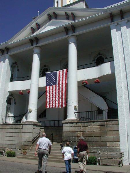
Pomeroy /
World
/ USA
/ Ohio
/ Pomeroy
World / United States / Ohio
county, draw only border
Meigs County, OH
Meigs County's was named for Ohio's fourth governor, Mr. Return J. Meigs, Jr. Its county seat is the Ohio River town of Pomeroy.
Geographically, Meigs County lies in Ohio's Appalachian region, and shares a border with West Virginia along the Ohio River.
Coal was once mined in the region.
Towns in Meigs County include: Middleport, Pomeroy, Racine, Rutland, Syracuse, Chester, Darwin, Langsville, Long Bottom, Portland, Reedsville, and Tuppers Plains.
Meigs County Visitor's Guide: www.meigscountyohio.com/
Meigs County Commissioners: www.dragonbbs.com/members/ww2186/
Wikipedia article: http://en.wikipedia.org/wiki/Meigs_County,_OH
Nearby cities:
Coordinates: 39°2'22"N 82°1'58"W
- Kanawha County, West Virginia 47 km
- Greenbrier County, West Virginia 131 km
- Pocahontas County, West Virginia 148 km
- Randolph County, West Virginia 152 km
- Augusta County, Virginia 226 km
- Rockingham County, Virginia 244 km
- Westmoreland County, Pennsylvania 258 km
- Somerset County, Pennsylvania 264 km
- Robeson County, North Carolina 509 km
- Fulton County, Georgia 596 km
- Riverside Golf Club 3 km
- Mountaineer Power Plant 10 km
- Philip Sporn Power Plant 12 km
- TNT Igloos Area 13 km
- James M. Gavin Power Plant 14 km
- West Virginia Ordinance Works 14 km
- Mason County Airport 15 km
- Flatrock, West Virginia 21 km
- Henderson, West Virginia 25 km
- Galia-Meigs Regional Airport (KGAS) 26 km
Comments