Rotherhithe (London)
United Kingdom /
England /
London
World
/ United Kingdom
/ England
/ London
World / United Kingdom / England
district
Add category
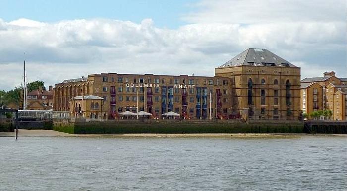
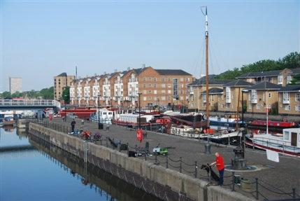
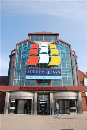
The northeastern part of the London Borough of Southwark, situated mainly on a peninsula/meander of the Thames. Greenland Quay and South Dock Marina are the largest remaining traces of the once vast docks complex in the area and are located on the eastern side of the area. Surrey Quays Shopping Centre is situated on top of the former Canada dock, of which only a small part (Canada Water) remains. Rotherhithe transport links include Canada Water station, served by the Jubilee and East London line (currently closed till summer 2010 and will reopen as London Overground)
Wikipedia article: http://en.wikipedia.org/wiki/Rotherhithe
Nearby cities:
Coordinates: 51°29'58"N -0°2'41"E
- Beckenham 8.4 km
- Wycombe District 70 km
- Redditch 162 km
- Hall Green 168 km
- Selly Oak 169 km
- Northfield 172 km
- Edgbaston 174 km
- Halesowen 178 km
- Pontypridd 231 km
- North Devon 295 km
- Greenland Dock 0.7 km
- Southwark Park 0.8 km
- Wapping & Thomas More Court 1.2 km
- New Place Estate 1.2 km
- Sala. International Records Management 1.4 km
- Keetons Estate 1.4 km
- Dickens Estate 1.5 km
- Rouel Road Estate 1.7 km
- Tower Hamlets Council 1.9 km
- Southwark Council 4.2 km