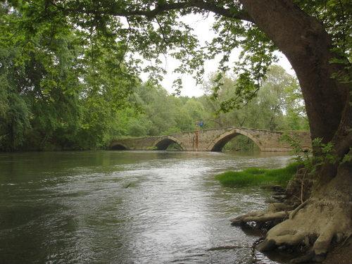
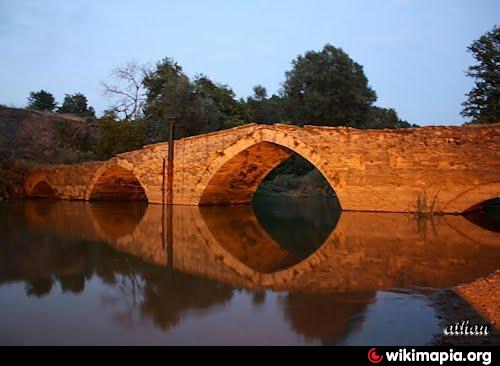
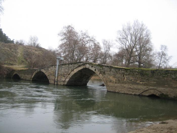
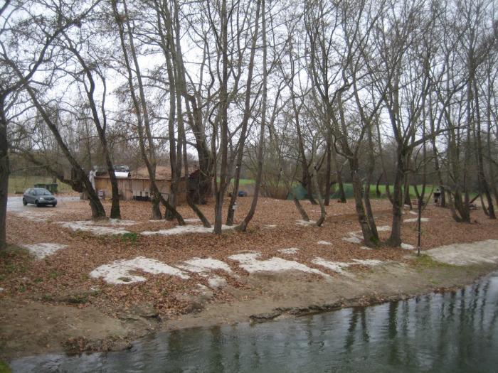
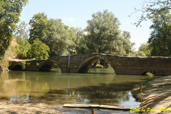
Roman bridge
Greece /
Serrai /
Alistrati /
World
/ Greece
/ Serrai
/ Alistrati
, 6 km from center (Αλιστράτη)
World / Greece / Kentriki Makedonia
ancient, Roman Empire, bridge
Nearby cities:
Coordinates: 41°0'45"N 23°56'27"E
- Ancient Philippopolis 143 km
- The ''wall'' from Cioclovina 512 km
- Roman road 512 km
- Roman road 517 km
- The Greek and Roman Antique City of Tomis 522 km
- Cemeteries Ancient pre-Christian 558 km
- segment din valul roman Traian-Tulucești 598 km
- The turf wall Cahul Lake - Cartal Lake 604 km
- The Romans' Road 701 km
- Remains of ancient roads and trenching 871 km
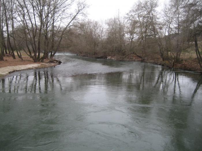
- Angitis river gorge - Alistrati's Cave 5.7 km
- Amphipolis Μunicipality 13 km
- Prosotsani Municipality 16 km
- Pangaio mountain 17 km
- Pangaio Municipality 22 km
- Menikio mountain 23 km
- Peripheral unit of Kavala 33 km
- Peripheral Unit of Drama 37 km
- Serres (regional unit) 38 km
- Drama Municipality 41 km