Amphipolis Μunicipality
Greece /
Serrai /
Palaiokymi /
World
/ Greece
/ Serrai
/ Palaiokymi
, 3 km from center (Παλαιοκώμη)
World / Greece / Kentriki Makedonia
invisible, second-level administrative division, draw only border
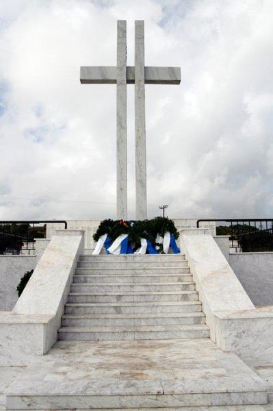
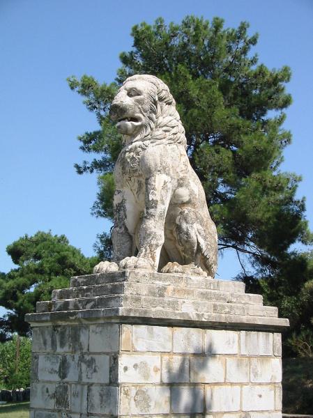

Amphipolis (Greek: Αμφίπολη, Amfípoli) is a municipality in the Serres regional unit of Greece. The municipality is named after the ancient city of the same name. The seat of the municipality is Rodolivos.
Wikipedia article: http://en.wikipedia.org/wiki/Amphipolis_(municipality)
Nearby cities:
Coordinates: 40°54'11"N 23°54'22"E
- Peripheral unit of Kavala 36 km
- Αristotelis Municipality 44 km
- Sithonia peninsula 66 km
- Polygyros Municipality 72 km
- Peripheral unit of Chalkidiki 80 km
- Langadas Municipality 81 km
- Peripheral unit of Thessaloniki 120 km
- Sporades Islands 160 km
- Peripheral Unit of Magnesia / Peripheral Unit of Northern Sporades 191 km
- Peripheral unit of Phthiotis 253 km
- Cemetery 2.5 km
- Cemetery 3.3 km
- Cemetery 3.7 km
- Cemetery 3.8 km
- Dimitra Old Rail Station 8 km
- Néa Zihni Old Rail Station 9 km
- Amphipolis Rail Junction 9 km
- Cemetery 12 km
- Primary school 12 km
- Cemetery 13 km