Mount Kato (Ski and Mountain Bike Hill)
| resort
USA /
Minnesota /
Skyline /
World
/ USA
/ Minnesota
/ Skyline
World / United States / Minnesota
mountain, resort, ski
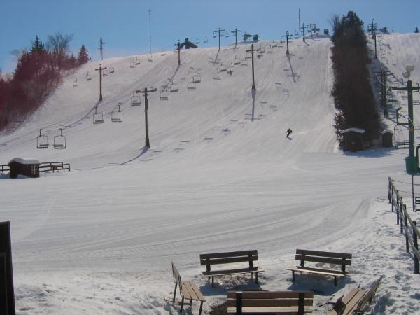
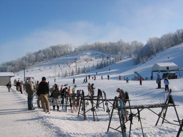
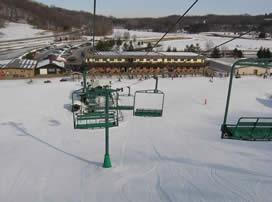
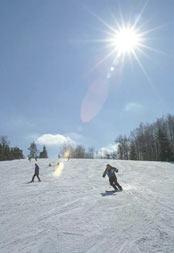
Skiiing, snow tubing, mountain biking.
www.mountkato.com
Mountain bike trail discussion forum: www.morcmtb.org/forums/archive/index.php/f-51.html
www.mountkato.com
Mountain bike trail discussion forum: www.morcmtb.org/forums/archive/index.php/f-51.html
Nearby cities:
Coordinates: 44°7'50"N 94°2'10"W
- State Forest Land 187 km
- Ripley Esker 222 km
- Des Moines Metro East Landfill 287 km
- Mont duLac 312 km
- Chestnut Mountain 357 km
- Whitecap Mountains 381 km
- Palisade Head 417 km
- Gheen Hill 439 km
- Medicine Butte 447 km
- Oberg Mountain 464 km
- Indian Lake Trailhead 1.2 km
- LeHillier / South Bend Township 2.5 km
- Minnesota State University, Mankato 3.5 km
- South Bend Township, MN 3.7 km
- Mankato / North Mankato 4.7 km
- Terrace View Golf Course 6.8 km
- Mankato Golf Club 8.5 km
- Eagle Lake 13 km
- East Minnesota River State Game Refuge 14 km
- Mankato Regional Airport (MKT/KMKT) - Mankato, MN 14 km
Comments