Nari Basin
Korea (South) /
Kangwon /
Samchok /
Nari-gil, 550
World
/ Korea (South)
/ Kangwon
/ Samchok
World / South Korea / Gyeongsangbuk-do
caldera
Add category
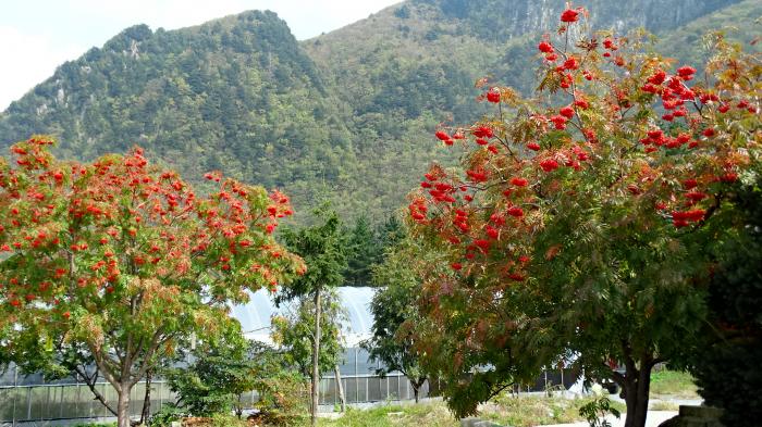
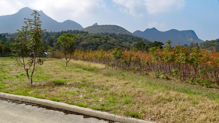
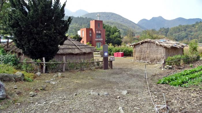


Difficult to reach, Nari Basin (roughly translates to ‘flat crater area’) is a large caldera basin (a large volcanic depression, caused by collapse or explosion), the largest flat area on the island of Ulleungdo. The basin is 3km² in area, being 1.5km wide and 2km long. Snow depths can reach 3m in winter.
30 people lived in this area. The school, which is at the bottom of the mountain, has only 2 students and 5 teachers.
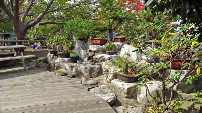
The basin is well drained and has fertile volcanic ash soil. While most island residents are fishermen, those living in the basin earn a good living by cultivating medicinal plants.
www.youtube.com/watch?v=2eymj4x1D0A
30 people lived in this area. The school, which is at the bottom of the mountain, has only 2 students and 5 teachers.
The basin is well drained and has fertile volcanic ash soil. While most island residents are fishermen, those living in the basin earn a good living by cultivating medicinal plants.
www.youtube.com/watch?v=2eymj4x1D0A
Nearby cities:
Coordinates: 37°31'13"N 130°52'16"E
- Kikai Caldera 749 km
- Lake Tōya 1018 km
- Lake Shikotsu 1060 km
- Lake Kussharo 1320 km
- Konder mountain 2258 km
- Caldera and volcano 2334 km
- Kurile Lake 2572 km
- Volcanic sands 2685 km
- Taal Lake 2787 km
- Lake Toba 5073 km
- The Pristine Forest at Seongin Peak 1.3 km
- Ulleungdo (Ulleung Island) 2.5 km
- Seonginbong 2.9 km
- Location of the loss of the cruiser "Svetlana" 108 km
- KHNP, Hanul Nuclear Power Plant 140 km
- Hupo-myeon 157 km
- Tonghae Satellite Launching Station 386 km
- Hwadae-gun (Hwadae County) 387 km
- Myŏngch'ŏn-gun (Myonchon County) 410 km
- Kilju-gun (Kilju County) 418 km